Search results
Search found 4 Ramsar Sites covering 29,447 ha
- (-) Remove Threats: Transportation and service corridors filter Threats: Transportation and service corridors
- (-) Remove Region/country: Europe filter Region/country: Europe
- (-) Remove Sites on Montreux record?: No filter Sites on Montreux record?: No
- (-) Remove Max elevation (in meters): 0 - 499 filter Max elevation (in meters): 0 - 499
- (-) Remove Management plan available: No filter Management plan available: No
- (-) Remove Threats: Unspecified filter Threats: Unspecified
- (-) Remove Threats: Human settlements (non agricultural) filter Threats: Human settlements (non agricultural)
- (-) Remove Designation date: 2004 filter Designation date: 2004
Map
Materials presented on this website, particularly maps and territorial information, are as-is and as-available based on available data and do not imply the expression of any opinion whatsoever on the part of the Secretariat of the Ramsar Convention concerning the legal status of any country, territory, city or area, or of its authorities, or concerning the delimitation of its frontiers or boundaries.
List
-

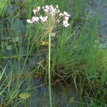
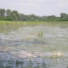
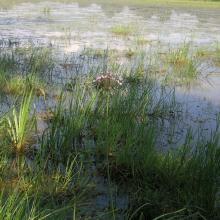
Upper Tisza (Felsö-Tisza)
-
Country:Hungary
-
Designation date:10-01-2004
-
Site number:1410
-
Published since:7 year(s)
26,871 ha -
-


Slano Kopovo
-
Country:Serbia
-
Designation date:14-05-2004
-
Site number:1392
-
Published since:19 year(s)
976 ha -
-

Csongrád-Bokrosi Sóstó sodic-alkaline pans
-
Country:Hungary
-
Designation date:04-12-2004
-
Site number:1409
-
Published since:8 year(s)
865 ha -
-

Tisa River
-
Country:Slovakia
-
Designation date:04-12-2004
-
Site number:1411
-
Published since:19 year(s)
735 ha -