Search results
Search found 118 Ramsar Sites covering 5,772,294 ha
- (-) Remove Region/country: Zambia filter Region/country: Zambia
- (-) Remove Region/country: Europe filter Region/country: Europe
- (-) Remove Region/country: Luxembourg filter Region/country: Luxembourg
- (-) Remove Region/country: Azerbaijan filter Region/country: Azerbaijan
- (-) Remove Region/country: Sweden filter Region/country: Sweden
- (-) Remove Region/country: Portugal filter Region/country: Portugal
- (-) Remove Region/country: Cameroon filter Region/country: Cameroon
Map
Materials presented on this website, particularly maps and territorial information, are as-is and as-available based on available data and do not imply the expression of any opinion whatsoever on the part of the Secretariat of the Ramsar Convention concerning the legal status of any country, territory, city or area, or of its authorities, or concerning the delimitation of its frontiers or boundaries.
List
-


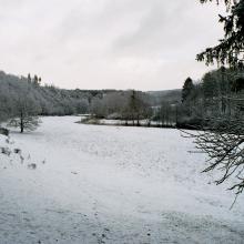
Aloppkölen-Köpmankölen
-
Country:Sweden
-
Designation date:19-11-2001
-
Site number:1113
-
Published since:7 year(s)
20,079 ha -
-

Åsnen
-
Country:Sweden
-
Designation date:12-06-1989
-
Site number:429
-
Published since:7 year(s)
17,866 ha -
-
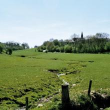


Vallée de la Haute-Sûre
-
Country:Luxembourg
-
Designation date:08-03-2004
-
Site number:1408
-
Published since:21 year(s)
16,900 ha -
-


Färnebofjärden
-
Country:Sweden
-
Designation date:14-11-2001
-
Site number:1116
-
Published since:7 year(s)
16,866 ha -
-

Ria Formosa
-
Country:Portugal
-
Designation date:24-11-1980
-
Site number:212
-
Published since:32 year(s)
16,000 ha -
-


Svenska Högarna-Nassa
-
Country:Sweden
-
Designation date:12-06-1989
-
Site number:435
-
Published since:7 year(s)
15,210 ha -
-
Estuário do Tejo
-
Country:Portugal
-
Designation date:24-11-1980
-
Site number:211
-
Published since:32 year(s)
14,563 ha -
-
.")

.")
Blekinge skärgård
-
Country:Sweden
-
Designation date:14-11-2001
-
Site number:1115
-
Published since:7 year(s)
12,958 ha -
-
Partie Camerounaise du Lac Tchad
-
Country:Cameroon
-
Designation date:02-02-2010
-
Site number:1903
-
Published since:14 year(s)
12,500 ha -
-


Tönnersjöheden-Årshultsmyren
-
Country:Sweden
-
Designation date:19-11-2001
-
Site number:1131
-
Published since:7 year(s)
12,388 ha -