Search results
Search found 621 Ramsar Sites covering 84,001,590 ha
- (-) Remove Ramsar criteria: 3 filter Ramsar criteria: 3
- (-) Remove Ecosystem services: Cultural Services filter Ecosystem services: Cultural Services
- (-) Remove Picture available?: Yes filter Picture available?: Yes
- (-) Remove Threats: Climate change & severe weather filter Threats: Climate change & severe weather
- (-) Remove Threats: Invasive and other problematic species and genes filter Threats: Invasive and other problematic species and genes
Map
Materials presented on this website, particularly maps and territorial information, are as-is and as-available based on available data and do not imply the expression of any opinion whatsoever on the part of the Secretariat of the Ramsar Convention concerning the legal status of any country, territory, city or area, or of its authorities, or concerning the delimitation of its frontiers or boundaries.
List
-


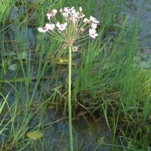
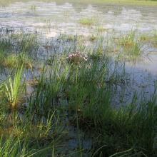
Tourbière de Moltifao
-
Country:France
-
Designation date:27-10-2011
-
Site number:1994
-
Published since:0 year(s)
34 ha -
-


Tjålmejaure-Laisdalen
-
Country:Sweden
-
Designation date:05-12-1974
-
Site number:30
-
Published since:7 year(s)
21,602 ha -
-
Tisa River
-
Country:Slovakia
-
Designation date:04-12-2004
-
Site number:1411
-
Published since:19 year(s)
735 ha -
-


Tibet Selincuo Wetlands
-
Country:China
-
Designation date:08-01-2018
-
Site number:2352
-
Published since:5 year(s)
1,893,630 ha -
-


Thol Lake Wildlife Sanctuary
-
Country:India
-
Designation date:05-04-2021
-
Site number:2458
-
Published since:2 year(s)
699 ha -
-


The Dales
-
Country:Australia
-
Designation date:21-10-2002
-
Site number:1225
-
Published since:1 year(s)
580 ha -
-


The Broadmeadow Estuary
-
Country:Ireland
-
Designation date:07-06-1996
-
Site number:833
-
Published since:1 year(s)
546 ha -
-


Thane Creek
-
Country:India
-
Designation date:13-04-2022
-
Site number:2490
-
Published since:1 year(s)
6,521 ha -
-


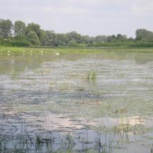
Tendrivska Bay
-
Country:Ukraine
-
Designation date:28-02-1997
-
Site number:768
-
Published since:1 year(s)
55,022 ha -
-
")


Tchicapika-Owando
-
Country:Congo
-
Designation date:02-02-2015
-
Site number:2223
-
Published since:8 year(s)
970,166 ha -