
Becher Point Wetlands
- País:Australia
- Número del sitio:1048
- Superficie:708 ha
- Fecha de designación:05-01-2001
- Coordenadas:32°22'S 115°43'E
Los materiales presentados en este sitio web, particularmente los mapas y la información territorial, se proporcionan tal cual y según están disponibles a partir de los datos de los que se dispone y no implican la expresión de opinión alguna por parte de la Secretaría de la Convención de Ramsar respecto de la condición jurídica de ningún país, territorio, ciudad o zona, ni de sus autoridades, ni respecto de la delimitación de sus límites o fronteras.
Resumen
Becher Point Wetlands are shrub swamps and seasonal marshes that have formed in an extensive sequence of inter-dunal depressions, which have themselves arisen from seaward advancement of the coastline over recent millennia. This type of wetland system is rare in southwestern Australia, while examples of this type of geomorphological sequence in equally good condition and within a protected area are rare worldwide. The series of wetlands within the Site exhibits a continuum of development in geomorphology, hydrology and vegetation and is considered to be a unique wetland system in Western Australia, and one of the youngest wetland systems on the Swan Coastal Plain. The sedgelands of the Site are included in the national list of threatened ecological communities. Land use within the Site is confined to nature conservation, and the surrounding areas are residential.
Región administrativa:
Western Australia
- Designación jurídica nacional:
- Nature Reserve - Crown Reserve 44077
- Fecha de última publicación:01-09-2014
Descargas
Ficha Informativa de los Humedales de Ramsar (FIR)
FIR archivada
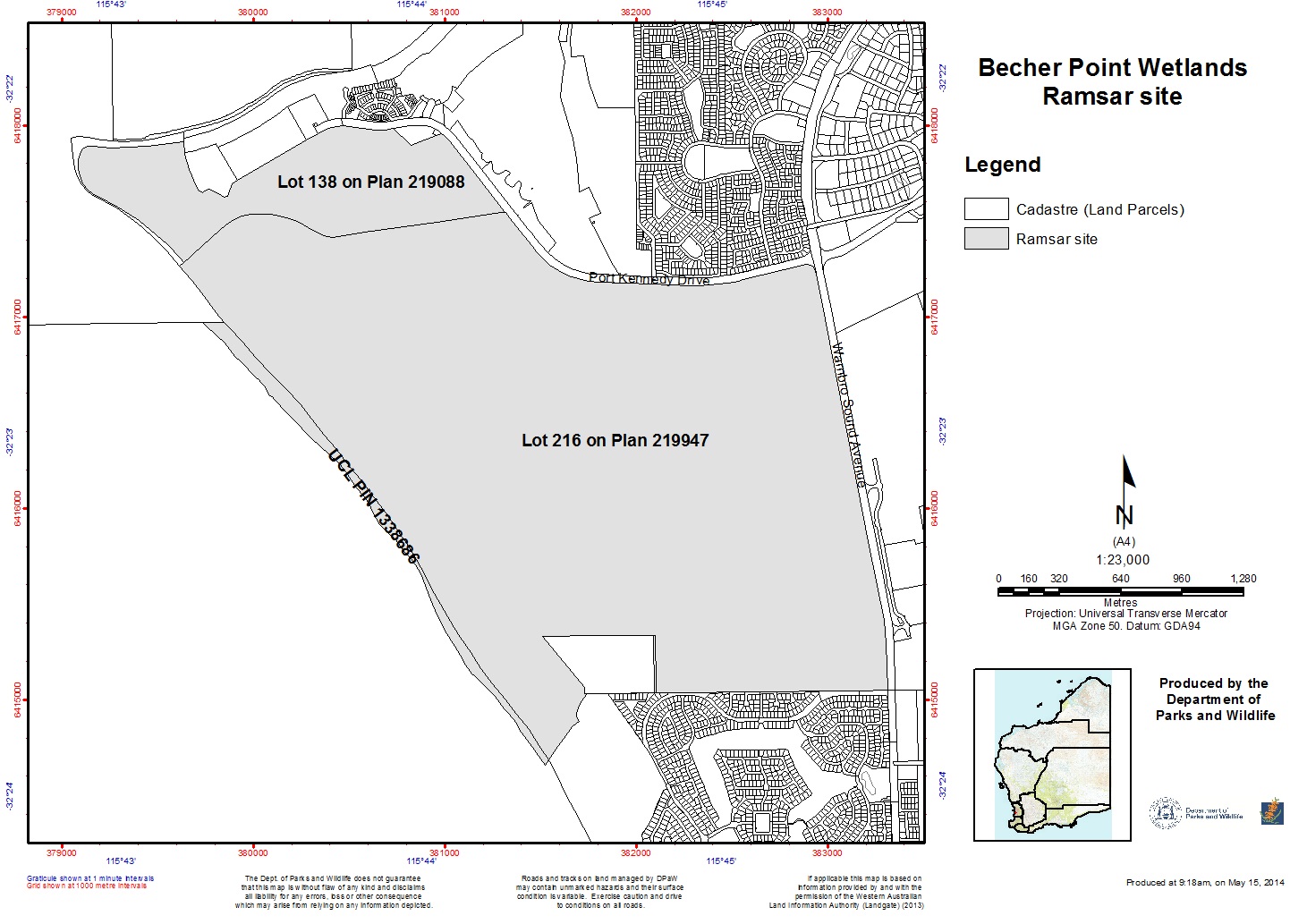
Mapa del sitio
Informes y documentos adicionales
- Plan de manejo del sitio