
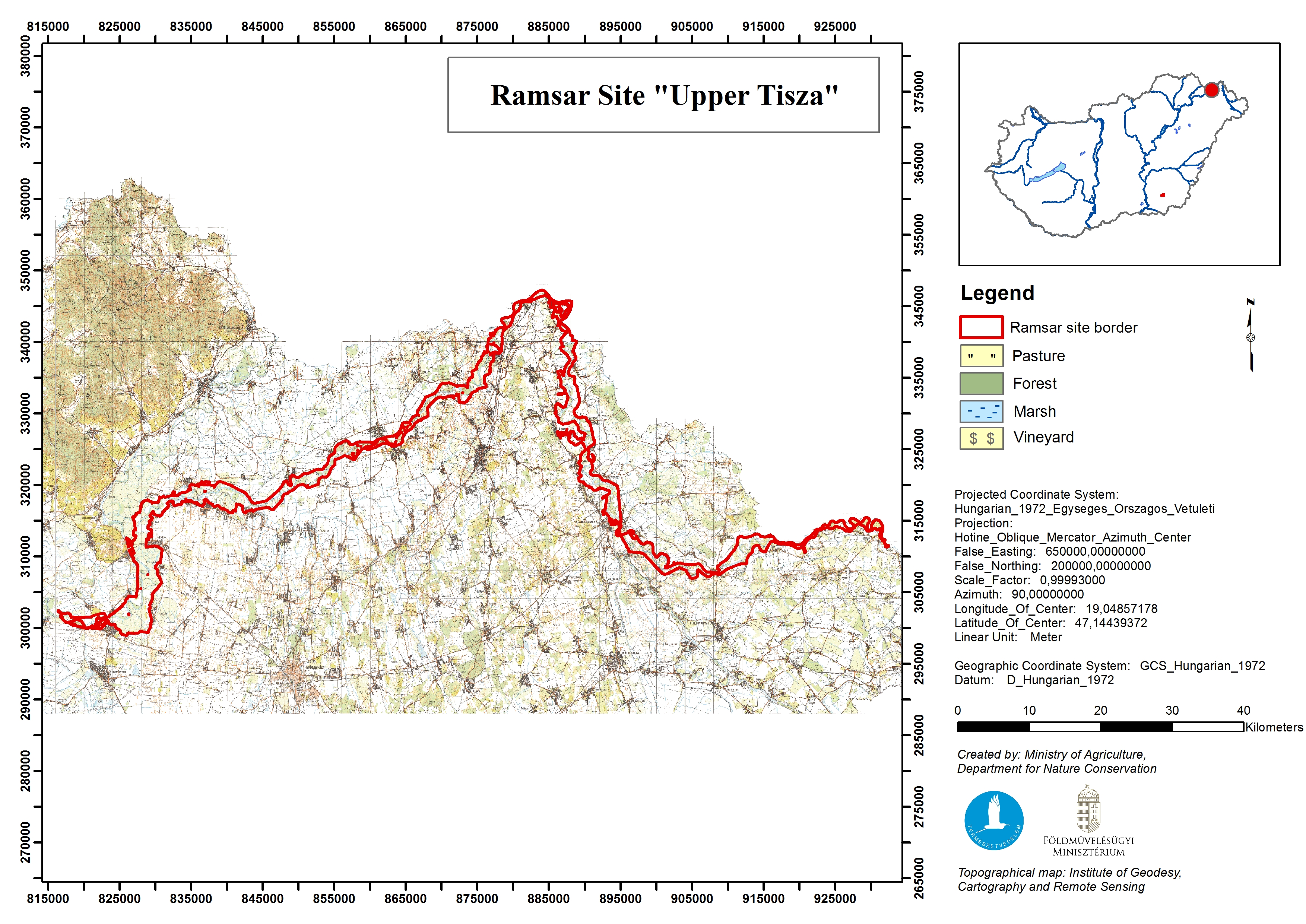
Upper Tisza (Felsö-Tisza)
- Country:Hungary
- Site number:1410
- Area:26,871 ha
- Designation date:10-01-2004
- Coordinates:48°10'N 21°56'E
- Transboundary Site:
Materials presented on this website, particularly maps and territorial information, are as-is and as-available based on available data and do not imply the expression of any opinion whatsoever on the part of the Secretariat of the Ramsar Convention concerning the legal status of any country, territory, city or area, or of its authorities, or concerning the delimitation of its frontiers or boundaries.
Overview
The Site covers the entire active floodplain along a 215-kilometre section of the River Tisza in north-eastern Hungary, adjacent to the Bodrogzug Ramsar Site; it meets the Ukrainian and Slovakian borders to the east and north, and the catchment is also shared with Romania. Felsö-Tisza is a typical floodplain with dikes constructed in the late 19th and early 20th centuries. The natural and near-natural habitats consist of large softwood and hardwood riverside forests, oxbow lakes and filled-in meanders with rich natural flora and fauna, extensively managed or abandoned orchards, and farmland. The Site supports many globally threatened species and ecological communities; it offers habitat to 57 different orchids and is especially important as a migration path to many fish species, some of which are endemic to the Danube river system. The Site fulfills numerous important functions such as flood control and habitat connectivity and provides numerous social and economic services including irrigation for agricultural land, fishing, recreation and education. Threats include uncontrolled tourism and fishing, intensification of forestry and eutrophication.
Transboundary designation:
The Site is part of the “Upper Tisza Valley” Transboundary Ramsar Site along with Site no. 1411 “Tisa River” in Slovakia.
Administrative region:
Szabolcs-Szatmár-Bereg County
- National legal designation:
- Landscape Protection Area - Szatmár-Bereg Landscape Protection Area
- Protected Area - Tiszatelek-Tiszabercel Protected Area and Tiszadob Floodplain Protected Area
- Regional (international) legal designations:
- EU Natura 2000
- Last publication date:29-03-2017
Downloads
Ramsar Information Sheet (RIS)
Archived RIS
Site map
Additional reports and documents
- Other published literature