
La Tovara
La Tovara
- Country:
- Mexico
- Site number:
- 1776
- Area:
- 7,384.2 ha
- Designation date:
- 02-02-2008
- Coordinates:
- 21°34'45"N 105°14'55"W
Carousel
Carousel
Materials presented on this website, particularly maps and territorial information, are as-is and as-available based on available data and do not imply the expression of any opinion whatsoever on the part of the Secretariat of the Convention on Wetlands concerning the legal status of any country, territory, city or area, or of its authorities, or concerning the delimitation of its frontiers or boundaries.
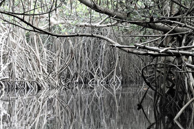
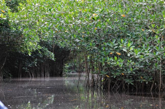
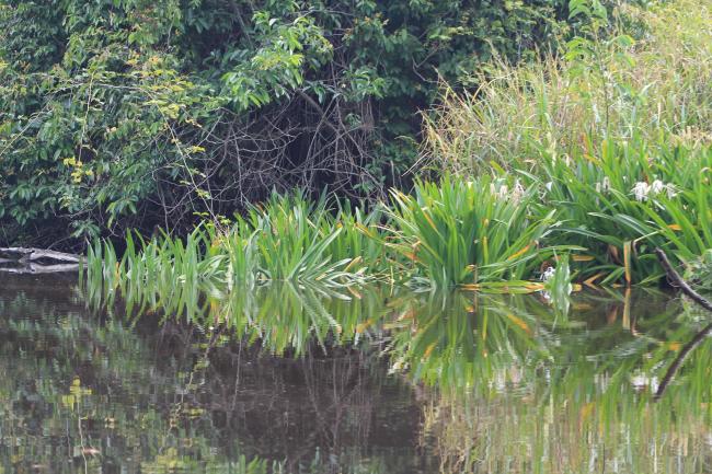
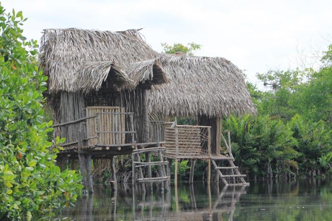
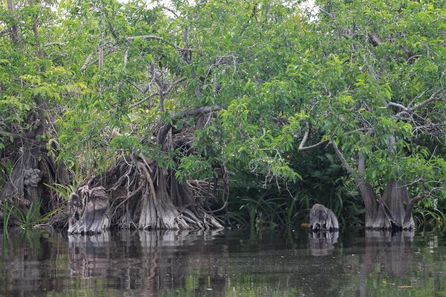
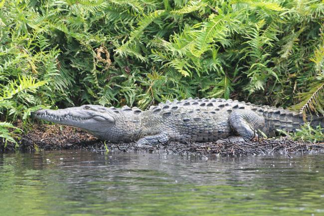
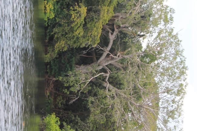
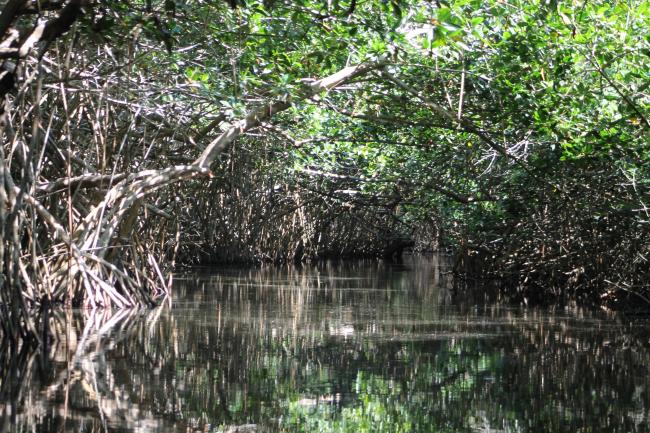
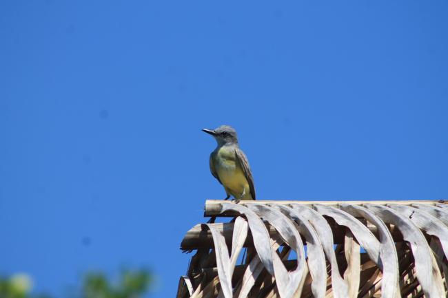
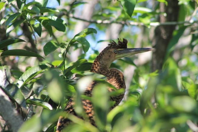
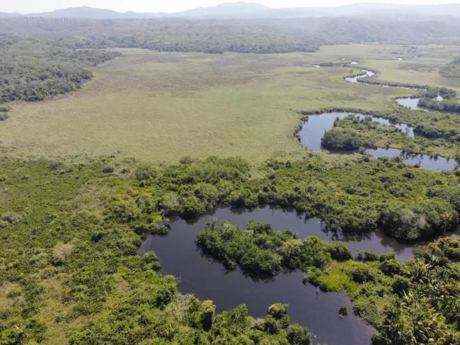
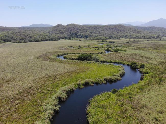
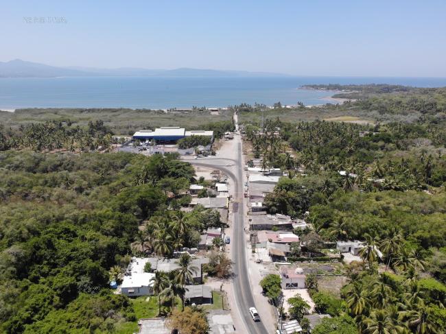
La Tovara, located 50 kilometres from the city of Tepic, is part of the largest well-preserved wetland system along the Mexican Pacific coast. The Site consists of forested intertidal wetlands, rivers and springs. These habitats support the olive ridley turtle (Lepidochelys olivacea), the Atlantic Goliath grouper (Epinephelus itajara) and the lilac-crowned Amazon parrot (Amazona finschi). The springs within the Site provide freshwater for the local communities, supporting their agricultural activities, while the forested wetlands stabilize the coastline and riverbanks, protecting the Site and its surroundings from storms. La Tovara also supports tourism through excursions and nature observation. Because its environment is threatened by cultivation of annual crops, marine aquaculture, and pollution from domestic and agricultural wastewater, conservation measures have been developed which include the implementation of species management programmes and the submission of an official proposal to designate the area as a federal Protected Natural Area.
- MX1776RIS_2606_es.pdf
- MX1776RISformer_231030.pdf
- MX1776_map231214.pdf
- MX1776_map231214_1__Vértices_Polígono.pdf