
Lac Boulhilet
Lac Boulhilet
- Country:
- Algeria
- Site number:
- 1897
- Area:
- 856.0 ha
- Designation date:
- 18-12-2009
- Coordinates:
- 35°43'54"N 06°46'12"E
Carousel
Carousel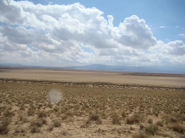
Materials presented on this website, particularly maps and territorial information, are as-is and as-available based on available data and do not imply the expression of any opinion whatsoever on the part of the Secretariat of the Convention on Wetlands concerning the legal status of any country, territory, city or area, or of its authorities, or concerning the delimitation of its frontiers or boundaries.
This restored freshwater lake is located in the Eastern High Plateaux of Algeria, within semi-arid to arid bioclimatic zones, and forms part of a complex of 13 freshwater, brackish and saline wetlands, including chotts (salt lakes) and sebkhas (salt flats). The Site was originally a natural seasonal depression which was modified for hydro-agricultural development. Following decades of intensive water use, restoration measures have increased water storage capacity, enabling the Site to recover its natural ecological functions. Surrounded by a belt of Tamarix gallica shrubs and dense marsh vegetation, the Site provides important habitats for waterbirds: it plays a key role as a wintering, feeding and stopover area for migratory birds, and supports threatened species including the globally endangered white-headed duck (Oxyura leucocephala) and the vulnerable common pochard (Aythya ferina), and the near-threatened marbled duck (Marmaronetta angustirostris). The common fire salamander (Salamandra salamandra) is also found. The wetland contributes to erosion control and supports surrounding agricultural and pastoral activities. However, its ecological character is threatened by poaching, human disturbance and unregulated water abstraction.
- DZ1897RIS_2603_fr.pdf
- DZ1897RISformer_161020.pdf
- DZ1897RISformer_250713_1804_fr.pdf
- DZ1897map.pdf
- DZ1897_taxo160720.pdf
- DZ1897_taxo160720_2.pdf