Baie de Khnifiss
Baie de Khnifiss
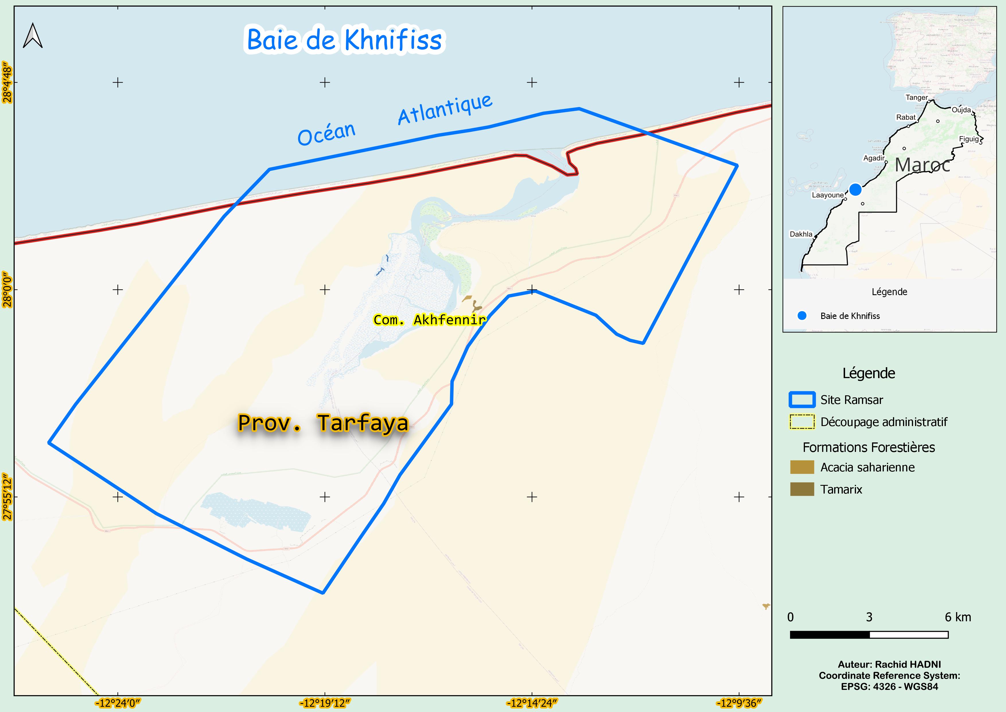
- Country:
- Morocco
- Site number:
- 209
- Area:
- 26,310.0 ha
- Designation date:
- 20-06-1980
- Coordinates:
- 27°59'17"N 12°18'05"W
Carousel
Carousel


Materials presented on this website, particularly maps and territorial information, are as-is and as-available based on available data and do not imply the expression of any opinion whatsoever on the part of the Secretariat of the Ramsar Convention concerning the legal status of any country, territory, city or area, or of its authorities, or concerning the delimitation of its frontiers or boundaries.
The Baie de Khnifiss is a complex system of interconnected habitats, including the Khnifiss lagoon, the sebkhas (salt flats) of Tazra and Mzeira, a large seasonal lake (daya La’wina), bordered by cliffs and steep sand dunes, the normally dry riverbed of Oued Awedri, and the adjacent marine coastline. Dune formations occasionally block water flow, making breaches rare. The lagoon is highly productive due to oceanic upwellings, supporting diverse flora and fauna, including the globally vulnerable marbled teal (Marmaronetta angustirostris). It also provides habitat for waterbirds such as the red knot (Calidris alba) and bar-tailed godwit (Limosa lapponica). The Site is a vital stopover for migratory birds along the East-Atlantic Flyway. Despite its ecological importance, habitat degradation and hydrological changes pose increasing threats. Strengthening conservation efforts is essential to preserving biodiversity and supporting migratory species.
- Site of Biological and Ecological Interest
- Zone d'Importance pour la Conservation des Oiseaux
- biological reserve
- MA209RIS_2503_fr.pdf
- MA209RISformer_FR.pdf
- MA209RISformer_EN.pdf
- MA209RISformer_160218.pdf
- MA209_map230807.jpg