Nemunas Delta
Nemunas Delta
- Country:
- Lithuania
- Site number:
- 629
- Area:
- 28,952.0 ha
- Designation date:
- 20-08-1993
- Coordinates:
- 55°19'05"N 21°22'19"E
Carousel
Carousel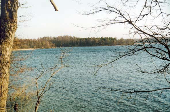
Materials presented on this website, particularly maps and territorial information, are as-is and as-available based on available data and do not imply the expression of any opinion whatsoever on the part of the Secretariat of the Ramsar Convention concerning the legal status of any country, territory, city or area, or of its authorities, or concerning the delimitation of its frontiers or boundaries.
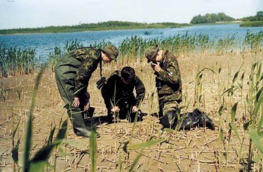
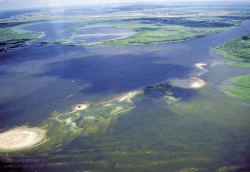
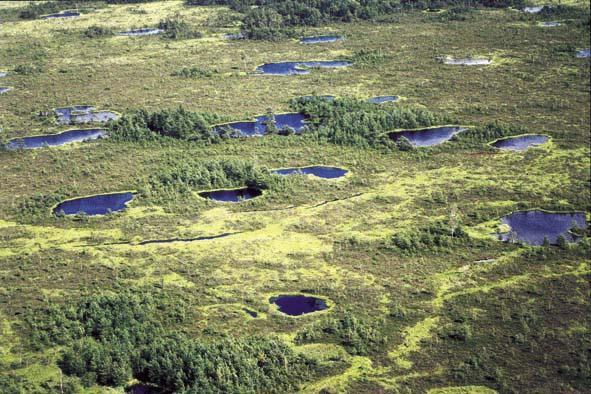
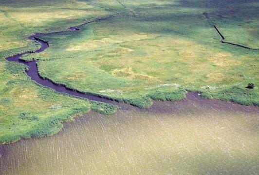
Nemunas delta (Nemuno delta). 04/10/93; Klaipeda; 28,952 ha (was extended by 5,002 ha in 2010); 55°18N 021°20E. Managed Nature Reserve, Regional Park, Natura 2000. A river delta of marshes, raised bogs, ridge-pool complexes, flooded forests and meadows. The site supports a rich plant community with numerous endangered species. Located on the East Atlantic flyway, it is an internationally important breeding, wintering and passage site for thousands of waterbirds and migratory birds, many of which are threatened species. Over 60 thousand migratory birds are ringed annually at the site. The park is divided into zones with different priorities such as conservation, ecological protection, recreational, economic and residential. Human activities include conservation education, hay production, dairy farming, fishing, hunting, peat production, recreation, and tourism. An information centre is located on Rusne island. The site is visited by some 100,000 visitors per year. A management plan is being implemented. Ramsar Site no. 629. Most recent RIS information: 2010.
Administrative region:
Šilute district
National legal designation:
- regional park
Regional (international) legal designations:
- EU Natura 2000
Last publication date:
01-01-2010
Ramsar Information Sheet (RIS)
- LT629RIS.pdf
- LT629RISformer.pdf
- LT629map.pdf
Archived RIS
Site map
Additional reports and documents
Other published literature