Lower Dniester
Lower Dniester
- País:
- República de Moldova
- Número del sitio:
- 1316
- Superficie:
- 60,000.0 ha
- Fecha de designación:
- 20-08-2003
- Coordenadas:
- 46°34'N 29°49'E
Carousel
Carousel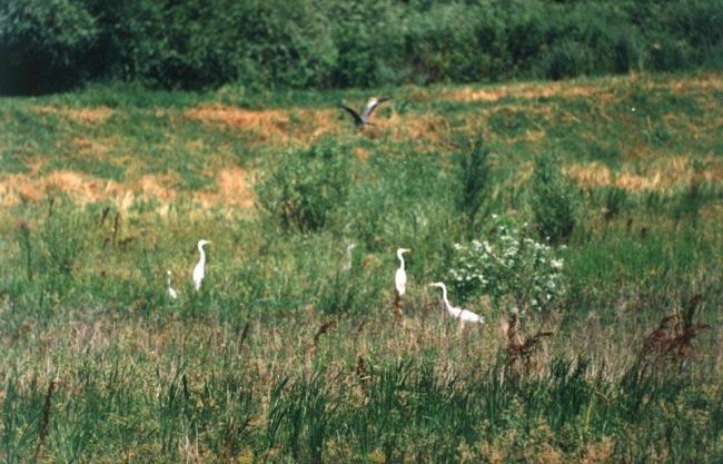


Los materiales presentados en este sitio web, particularmente los mapas y la información territorial, se proporcionan tal cual y según están disponibles a partir de los datos de los que se dispone y no implican la expresión de opinión alguna por parte de la Secretaría de la Convención de Ramsar respecto de la condición jurídica de ningún país, territorio, ciudad o zona, ni de sus autoridades, ni respecto de la delimitación de sus límites o fronteras.
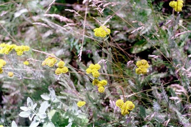
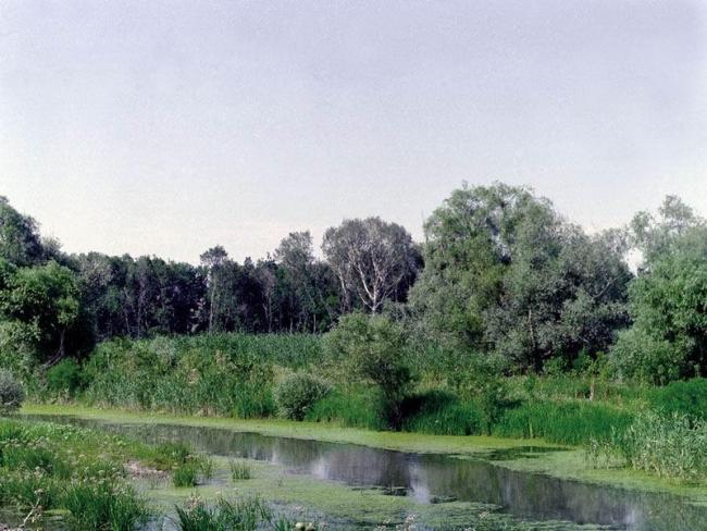
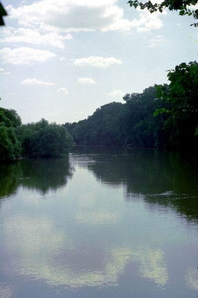
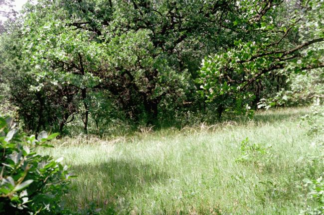
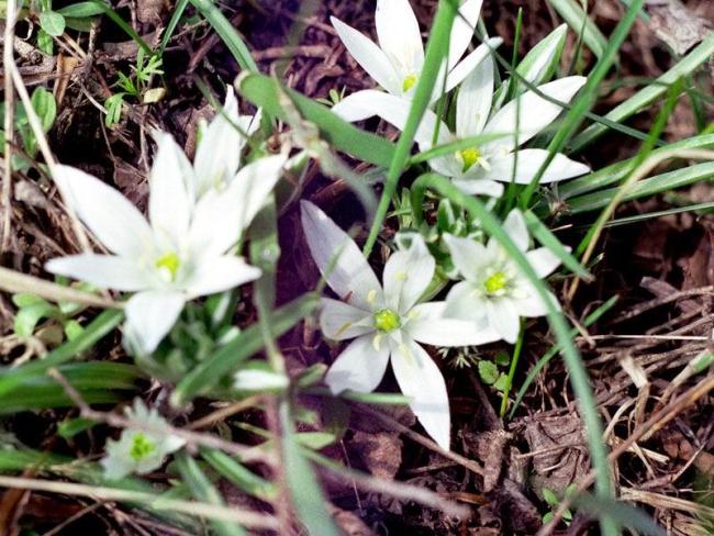
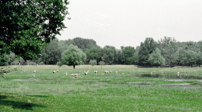
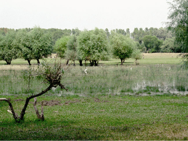
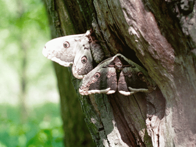
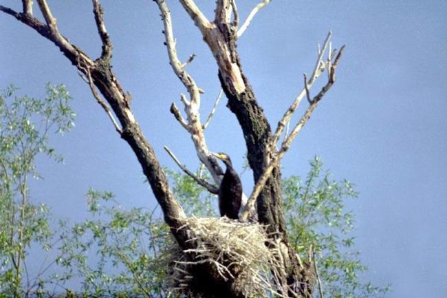
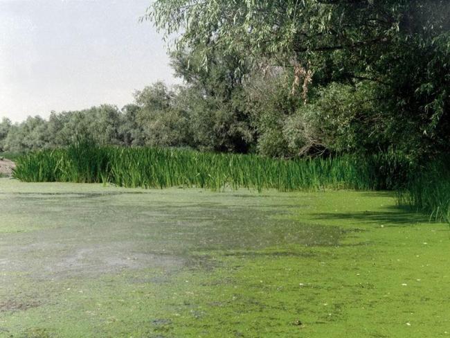
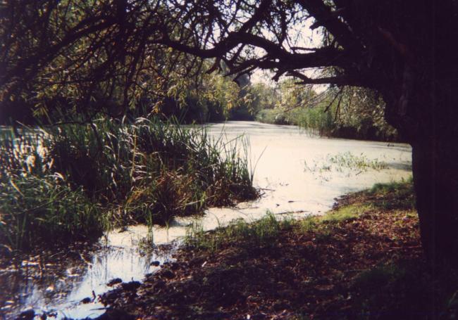
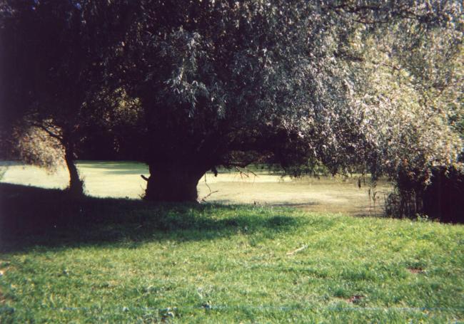
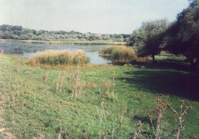
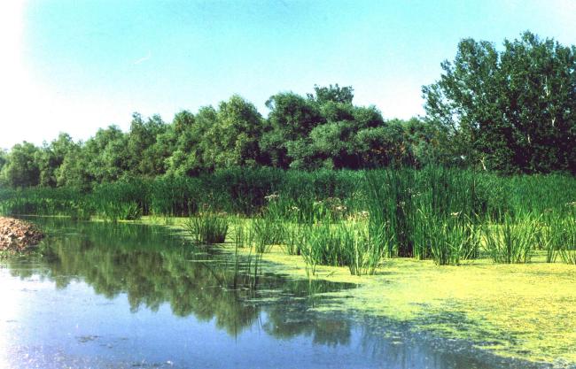
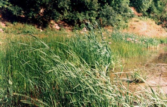
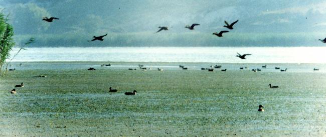
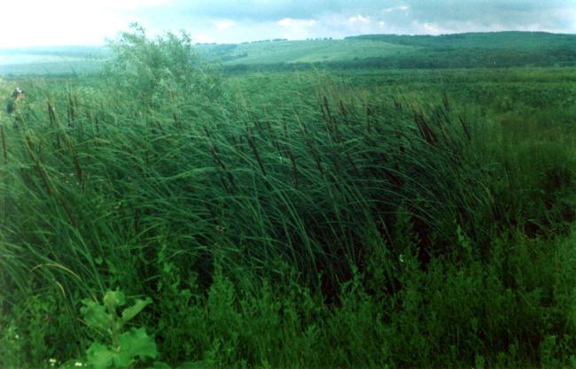
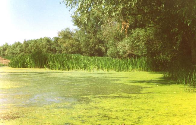
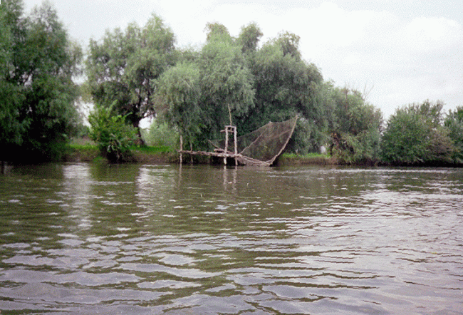
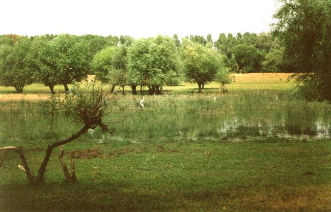
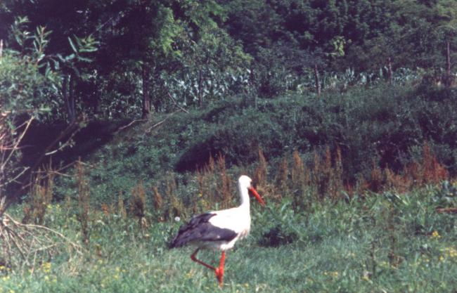
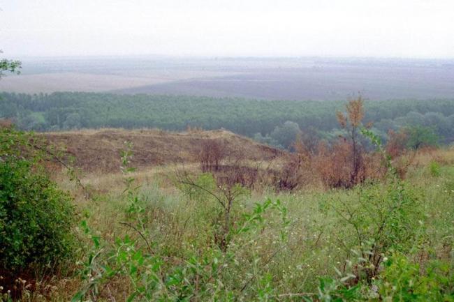
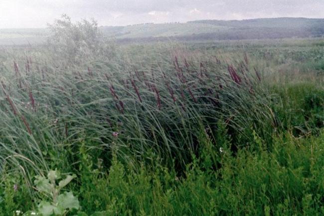
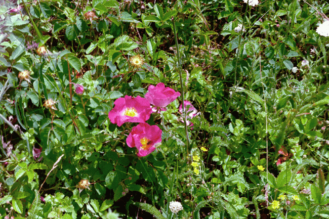
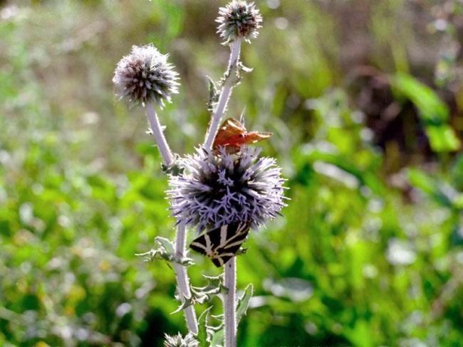
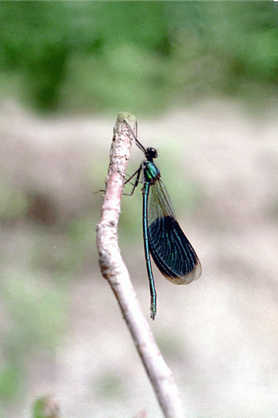
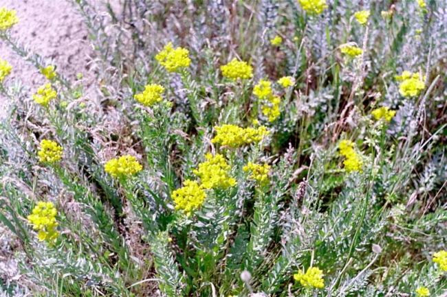
Lower Dniester (Nistru de Jos). 20/08/03; Tighina, Slodozia; 60,000 ha; 46 34'N 29 49'E; Nature Reserves; Landscape Reserve; Nature Monuments (paleontological). The designation of this part of the Dniester River in southeastern Moldova helps to complete the conservation of transboundary wetland the Dniester delta, with two Ramsar sites downstream in Ukraine. This complex of relict and transformed habitats of the Dniester floodplain includes meandering zones with almost closed river loops typical for the northwest of the Black Sea basin, lakes and oxbows formed by river roaming, specific ash communities and unique old stand floodland poplar forest, Fraxineto-Populeta (albae). The site supports many globally endangered and vulnerable bird species among which 2 are nesting (Crex crex, Phalacrocorax pygmaeus), 4 are present on migration (Branta ruficollis, Aythya nyroca, Circus macrourus, Haliaeetus albicilla), 1 regular visitor (Pelicanus crispus), and fish such as the Danube Salmon (Hucho hucho), the European Mud-minnow (Umbra krameri) and various species of sturgeons. The wetland is an important site for freshwater migratory fish as it supports more than 90% of the species of the region and offers a high diversity of biotopes: riverbed spawning ground, areas of pelagic spawning and nursery. However, the construction of dams in the Dniester valley has affected the terrestrial, aquatic and intermediate ecosystems and large areas of important meadow spawning grounds were lost. Grazing is also considered as an important disturbance. The site has recognized paleontological and archaeological value since the discovery of fossils and places such as tumuli, Cimmerian, Ghetic, Sarmatic and Slavic memorials. The RIS and the management plans of this site were prepared in 2001 during a Ramsar Small Grant Funds project. The creation of a Lower Dniester National Park is under discussion. Ramsar site no. 1316. Most recent RIS information: 2003.
Región administrativa:
Tighina & Transdniestria
Designación jurídica nacional:
- Landscape Reserve - Turkish Garden
- Nature Monument
- Nature Reserves - Copanca, Leuntea, Olanesti Forest
- Resource Soil Reserve - Talmaza Wetland
Fecha de última publicación:
20-08-2003
Ficha Informativa de los Humedales de Ramsar (FIR)
- MD1316RIS.pdf
- MD1316map_over.pdf
- MD1316map_add.zip
Mapa del sitio
Informes y documentos adicionales
Other published literature