Site Ramsar Vallée du Niari
Site Ramsar Vallée du Niari
- País:
- Congo
- Número del sitio:
- 2081
- Superficie:
- 1,581,000.0 ha
- Fecha de designación:
- 18-09-2012
- Coordenadas:
- 03°46'59"S 12°30'E
Carousel
Carousel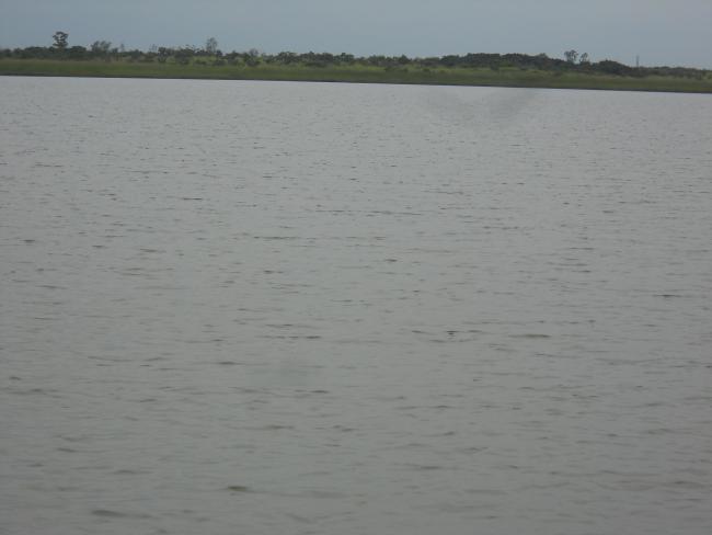
Los materiales presentados en este sitio web, particularmente los mapas y la información territorial, se proporcionan tal cual y según están disponibles a partir de los datos de los que se dispone y no implican la expresión de opinión alguna por parte de la Secretaría de la Convención de Ramsar respecto de la condición jurídica de ningún país, territorio, ciudad o zona, ni de sus autoridades, ni respecto de la delimitación de sus límites o fronteras.
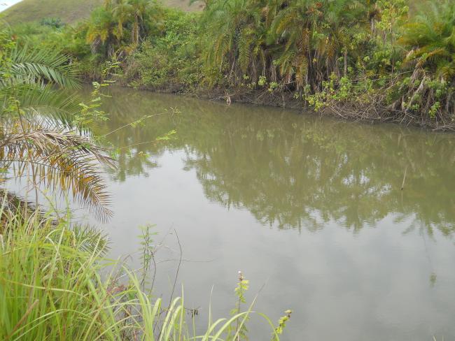
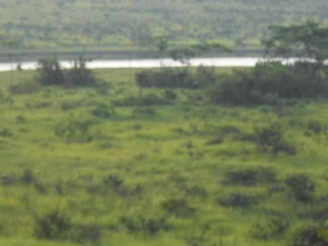
Site Ramsar Vallée du Niari. 18/09/2012; Niari; 1,581,000 ha; 03°47'S 012°30'E. A complex of permanent freshwater rivers and lakes surrounded by seasonally flooded freshwater swamp forests. It supports a rich diversity of plant and animal species including several IUCN Red-Listed species such as the African elephant (Loxodonta africana), Western lowland Gorilla (Gorilla gorilla gorilla) and Chimpanzee (Pan troglodytes). It is a migrating path for over 200 waterbird species and serves as a spawning ground and food source for several fish species. Its main hydrological functions include groundwater recharge, flood control, shoreline stabilisation, and sediment trapping. Ecotourism activities, especially bird-watching, are currently being developed in the site. It is of great cultural value to the resident population, who depend on fishing, hunting, agriculture and harvesting of forest products for a source of livelihood. The site is threatened by slash and burn agriculture and wood logging. This has promoted the current development of a management plan for its exploitation. Ramsar site no. 2081. Most recent RIS information 2012.
Región administrativa:
Niari, Bouenza, Kouilou
Fecha de última publicación:
18-09-2012
Ficha Informativa de los Humedales de Ramsar (FIR)
- CG2081RIS.pdf
- CG2081map1.pdf
- CG2081map2.pdf
Mapa del sitio
Informes y documentos adicionales
Other published literature