North, Middle & East Caicos Islands
North, Middle & East Caicos Islands
- País:
- Reino Unido de Gran Bretaña e Irlanda del Norte (Overseas territories)
- Número del sitio:
- 493
- Superficie:
- 58,617.0 ha
- Fecha de designación:
- 27-06-1990
- Coordenadas:
- 21°45'N 71°45'W
Carousel
Carousel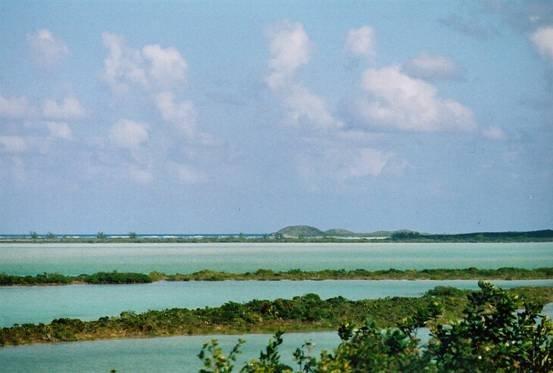

Los materiales presentados en este sitio web, particularmente los mapas y la información territorial, se proporcionan tal cual y según están disponibles a partir de los datos de los que se dispone y no implican la expresión de opinión alguna por parte de la Secretaría de la Convención de Ramsar respecto de la condición jurídica de ningún país, territorio, ciudad o zona, ni de sus autoridades, ni respecto de la delimitación de sus límites o fronteras.
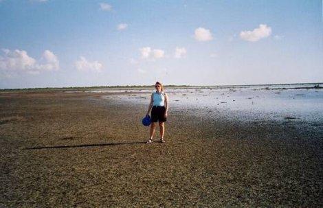
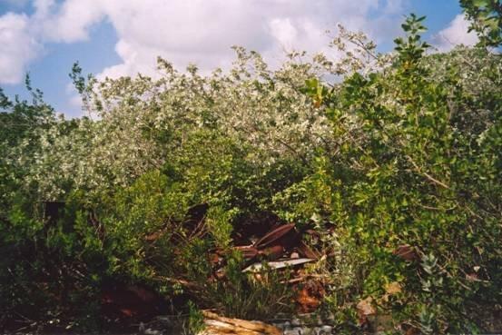
North, Middle & East Caicos Islands. 27/06/90; Turks & Caicos Islands; 58,617 ha; 21°45'N 071°45'W. Nature Reserve. Extensive coastal site including prime examples of the main wetland habitats found on the Islands. Consists of intertidal algal flats and submerged banks, salt ponds, mangrove swamps, lagoons, sinkholes, and marshland. The site provides important feeding areas for waterbirds, habitat for the endangered sea turtle, and nursery grounds for fish. Flamingos feed and breed in the salt ponds and offshore limestone islands act as refuges for iguanas. The area is important for Dendrocygna arborea, probably numbering fewer than 1,000 pairs in the Caribbean. Tourism is an important industry in the islands. As of 2002, a management plan is in development with community support under a Darwin Initiative project. Ramsar site no. 493.
Región administrativa:
Turks and Caicos Islands
Designación jurídica nacional:
- nnr
Fecha de última publicación:
01-01-2002
Ficha Informativa de los Humedales de Ramsar (FIR)
- GB493RIS.pdf
Mapa del sitio