Salburua
Salburua
- Pays:
- Espagne
- Numéro du site:
- 1263
- Superficie:
- 174.0 ha
- Date d'inscription:
- 24-10-2002
- Coordonnées:
- 42°51'N 02°39'W
Carousel
Carousel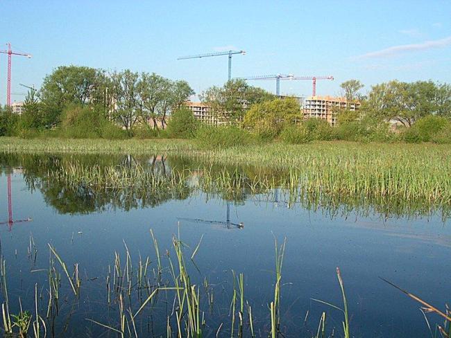

Le matériel présenté sur ce site web, et en particulier les cartes et l’information territoriale, est tel qu’il apparaît dans les données disponibles et n’implique en aucune manière l’expression d’une opinion quelconque de la part du Secrétariat de la Convention de Ramsar concernant le statut juridique de tout pays, territoire, ville ou zone, ou de ses autorités, ou concernant la délimitation de ses frontières ou limites.
Salburua. 24/10/02; País Vasco; 174 ha; 42°51'N 002°39'W. A complex of two shallow lakes at the edge of Vitoria-Gasteiz, the capital of the Basque autonomous region (220,000 inhabitants). The marshes were drained during the 20th century and subsequently restored in the 1990s. Arkaute lake fulfils a key hydrological function in preventing flooding of the nearby part of town. The site contains the most extensive Carex riparia reedbed of the Iberian peninsula and other priority habitats of the EC Habitats Directive. The population of the globally endangered European mink Mustela lutreola is noteworthy. The area is used for research and environmental education. Specific trails and picnic areas are designated for nature tourists. Controlled grazing with a herd of deer is managing the emergent aquatic vegetation. Ramsar site no. 1263. Most recent RIS information: 2002.
Région administrative:
País Vasco
Regional (international) legal designations:
- UE Natura 2000
Date de dernière publication:
24-10-2002
Fiche descriptive Ramsar (FDR)
- ES1263RIS.pdf
- ES1263map_over2002_SP.pdf
Carte du site
Rapports et documents complémentaires
A description of the site in a national or regional wetland inventory