North, Middle & East Caicos Islands
North, Middle & East Caicos Islands
- Pays:
- Royaume-Uni de Grande-Bretagne et d'Irlande du Nord (Overseas territories)
- Numéro du site:
- 493
- Superficie:
- 58,617.0 ha
- Date d'inscription:
- 27-06-1990
- Coordonnées:
- 21°45'N 71°45'W
Carousel
Carousel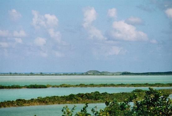

Le matériel présenté sur ce site web, et en particulier les cartes et l’information territoriale, est tel qu’il apparaît dans les données disponibles et n’implique en aucune manière l’expression d’une opinion quelconque de la part du Secrétariat de la Convention de Ramsar concernant le statut juridique de tout pays, territoire, ville ou zone, ou de ses autorités, ou concernant la délimitation de ses frontières ou limites.
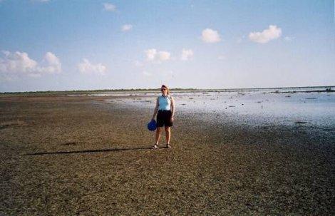
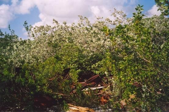
North, Middle & East Caicos Islands. 27/06/90; Turks & Caicos Islands; 58,617 ha; 21°45'N 071°45'W. Nature Reserve. Extensive coastal site including prime examples of the main wetland habitats found on the Islands. Consists of intertidal algal flats and submerged banks, salt ponds, mangrove swamps, lagoons, sinkholes, and marshland. The site provides important feeding areas for waterbirds, habitat for the endangered sea turtle, and nursery grounds for fish. Flamingos feed and breed in the salt ponds and offshore limestone islands act as refuges for iguanas. The area is important for Dendrocygna arborea, probably numbering fewer than 1,000 pairs in the Caribbean. Tourism is an important industry in the islands. As of 2002, a management plan is in development with community support under a Darwin Initiative project. Ramsar site no. 493.
Région administrative:
Turks and Caicos Islands
Inscription légale nationale:
- nnr
Date de dernière publication:
01-01-2002
Fiche descriptive Ramsar (FDR)
- GB493RIS.pdf
Carte du site