Search results
Search found 60 Ramsar Sites covering 742,408 ha
- (-) Remove Region/country: Serbia filter Region/country: Serbia
- (-) Remove Region/country: Israel filter Region/country: Israel
- (-) Remove Region/country: Armenia filter Region/country: Armenia
- (-) Remove Region/country: Ukraine filter Region/country: Ukraine
- (-) Remove Region/country: Albania filter Region/country: Albania
- (-) Remove Max elevation (in meters): 0 - 499 filter Max elevation (in meters): 0 - 499
- (-) Remove Region/country: United Kingdom of Great Britain and Northern Ireland filter Region/country: United Kingdom of Great Britain and Northern Ireland
- (-) Remove Picture available?: Yes filter Picture available?: Yes
- (-) Remove Region/country: Slovakia filter Region/country: Slovakia
Map
Materials presented on this website, particularly maps and territorial information, are as-is and as-available based on available data and do not imply the expression of any opinion whatsoever on the part of the Secretariat of the Ramsar Convention concerning the legal status of any country, territory, city or area, or of its authorities, or concerning the delimitation of its frontiers or boundaries.
List
-


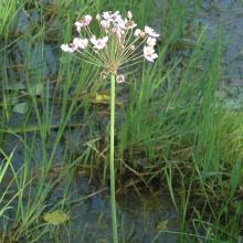
Slano Kopovo
-
Country:Serbia
-
Designation date:14-05-2004
-
Site number:1392
-
Published since:19 year(s)
976 ha -
-
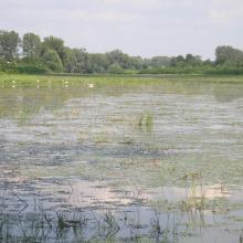
Tisa River
-
Country:Slovakia
-
Designation date:04-12-2004
-
Site number:1411
-
Published since:19 year(s)
735 ha -
-


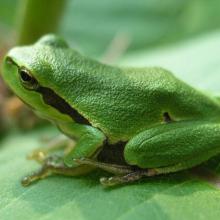
Latorica
-
Country:Slovakia
-
Designation date:26-05-1993
-
Site number:606
-
Published since:18 year(s)
4,405 ha -
-


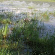
Senné fishponds
-
Country:Slovakia
-
Designation date:02-07-1990
-
Site number:500
-
Published since:17 year(s)
425 ha -
-


Somyne Swamps
-
Country:Ukraine
-
Designation date:24-12-2013
-
Site number:2275
-
Published since:7 year(s)
10,852 ha -
-


Syra Pogonia Bog
-
Country:Ukraine
-
Designation date:24-12-2013
-
Site number:2274
-
Published since:7 year(s)
9,926 ha -
-


Sim Maiakiv Floodplain
-
Country:Ukraine
-
Designation date:24-12-2013
-
Site number:2273
-
Published since:7 year(s)
2,140 ha -
-


Shagany-Alibei-Burnas Lakes System
-
Country:Ukraine
-
Designation date:28-02-1997
-
Site number:763
-
Published since:2 year(s)
27,600 ha -
-


Tendrivska Bay
-
Country:Ukraine
-
Designation date:28-02-1997
-
Site number:768
-
Published since:1 year(s)
55,022 ha -
-


Northern Part of the Dniester Liman
-
Country:Ukraine
-
Designation date:28-02-1997
-
Site number:765
-
Published since:1 year(s)
25,929 ha -