Ipoly Valley
Ipoly Valley
- Country:
- Hungary
- Site number:
- 1093
- Area:
- 2,303.7 ha
- Designation date:
- 14-08-2001
- Coordinates:
- 48°03'37"N 19°06'50"E
- Transboundary Site:
Carousel
Carousel


Materials presented on this website, particularly maps and territorial information, are as-is and as-available based on available data and do not imply the expression of any opinion whatsoever on the part of the Secretariat of the Convention on Wetlands concerning the legal status of any country, territory, city or area, or of its authorities, or concerning the delimitation of its frontiers or boundaries.
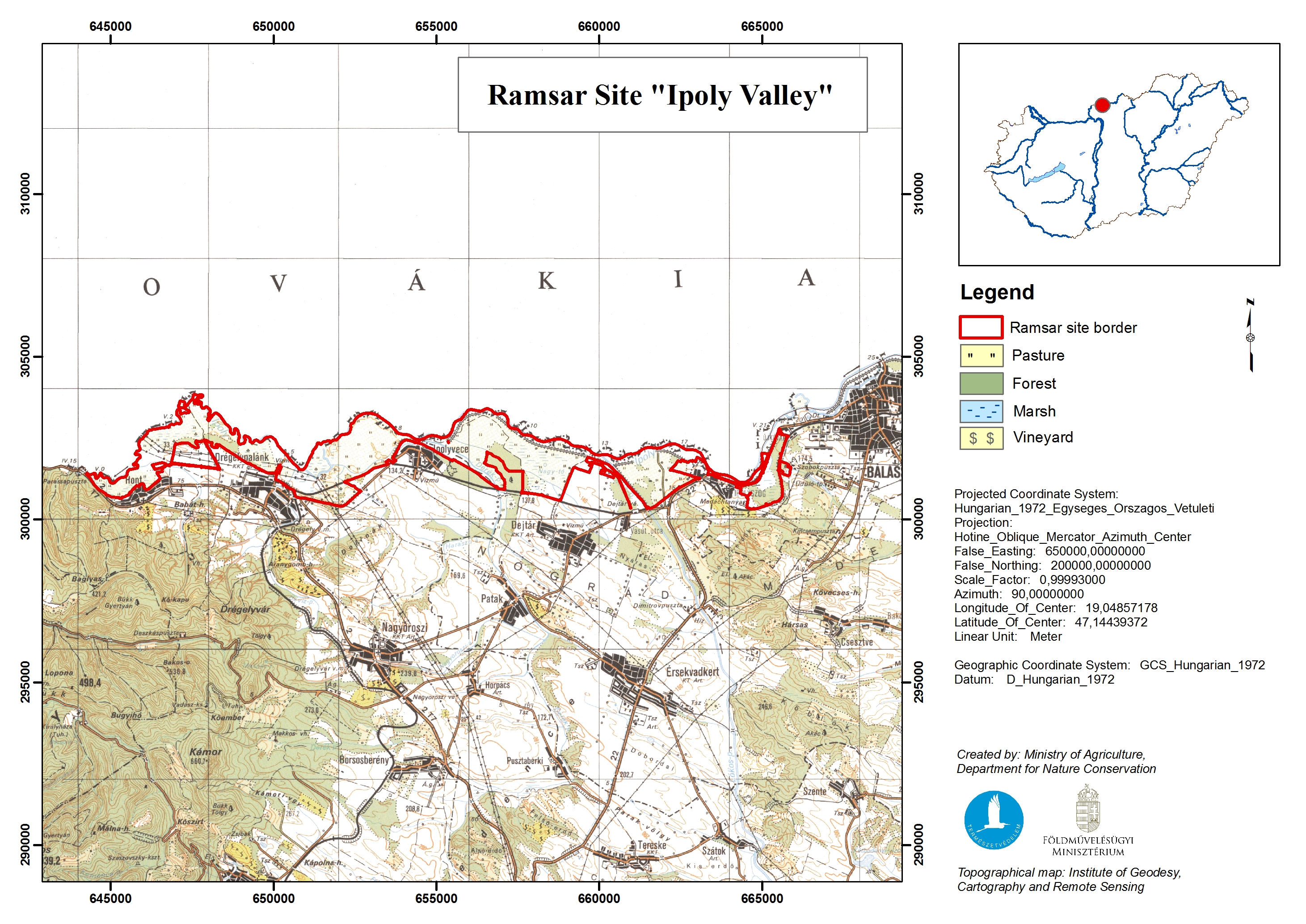
The Site is a relatively narrow floodplain, covering a stretch of around 20 kilometres of the southern bank of the Ipoly river. On the north side is Slovakia’s Poiplie (Site no. 930 on the Ramsar List) and the two make up the “Ipoly Valley – Poiplie” Transboundary Ramsar Site. The Site features depressions in which there are oxbow lakes as well as shrub and alder bogs. The plain typically floods for long periods from early spring, and these floods are the main source of water, especially for the depressions. It is an exceptional example of a preserved wetland habitat in the Carpathian basin, and is important for maintaining the high diversity of plant and animal communities in the biogeographical region. The floodplain is a particularly valuable habitat for migratory birds. It also plays an important hydrological role in the river catchment, providing flood regulation, sediment and nutrient retention, water purification and groundwater replenishment. Its meadows are partly grazed and mown, while other human activities include fishing, forestry, hunting and cattle-breeding. Potential threats derive from dams and water management, water abstraction, and invasive species.
- National Park - Duna-Ipoly National Park
- EU Natura 2000
- HU1093RIS_2510_en.pdf
- HU1093RISformer1998_EN.pdf
- HU1093RISformer_150330.pdf
- HU1093RISformer_250225_1511_en.pdf
- HU1093_map1504.jpg
- HU1093_taxo1504.pdf