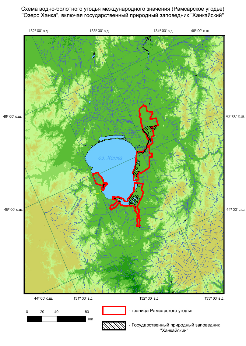
Lake Khanka
- Country:Russian Federation
- Site number:112
- Area:310,000 ha
- Designation date:11-10-1976
- Coordinates:44°52'N 132°30'E
Materials presented on this website, particularly maps and territorial information, are as-is and as-available based on available data and do not imply the expression of any opinion whatsoever on the part of the Secretariat of the Ramsar Convention concerning the legal status of any country, territory, city or area, or of its authorities, or concerning the delimitation of its frontiers or boundaries.
Overview
Nature Reserve, Buffer Zone. The Russian portion of an extensive coastline, a transborder freshwater lake (with China), and adjacent floodplains, subject to periodic fluctuations. A diverse aquatic and marsh vegetation is supported, as are several relict plant species surviving since the Tertiary era. An important area for breeding, feeding and staging birds, including globally threatened and endemic species. Large numbers of Anatidae (ducks, geese, swans, etc.) occur during migration periods. Rice is the principal crop in the surrounding area. Human activities include hay production, livestock grazing, and hunting of birds and fur-bearing mammals.
Administrative region:
Primorski Krai (Khankaisky, Khorolsky, Chernigovsky, Spassky and Kirovsky regions)
- National legal designation:
- state nature reserve - Khankaisky
- Regional (international) legal designations:
- Other international designation
- Last publication date:01-08-2008
Downloads
Ramsar Information Sheet (RIS)
Archived RIS
Additional reports and documents
- Other published literature