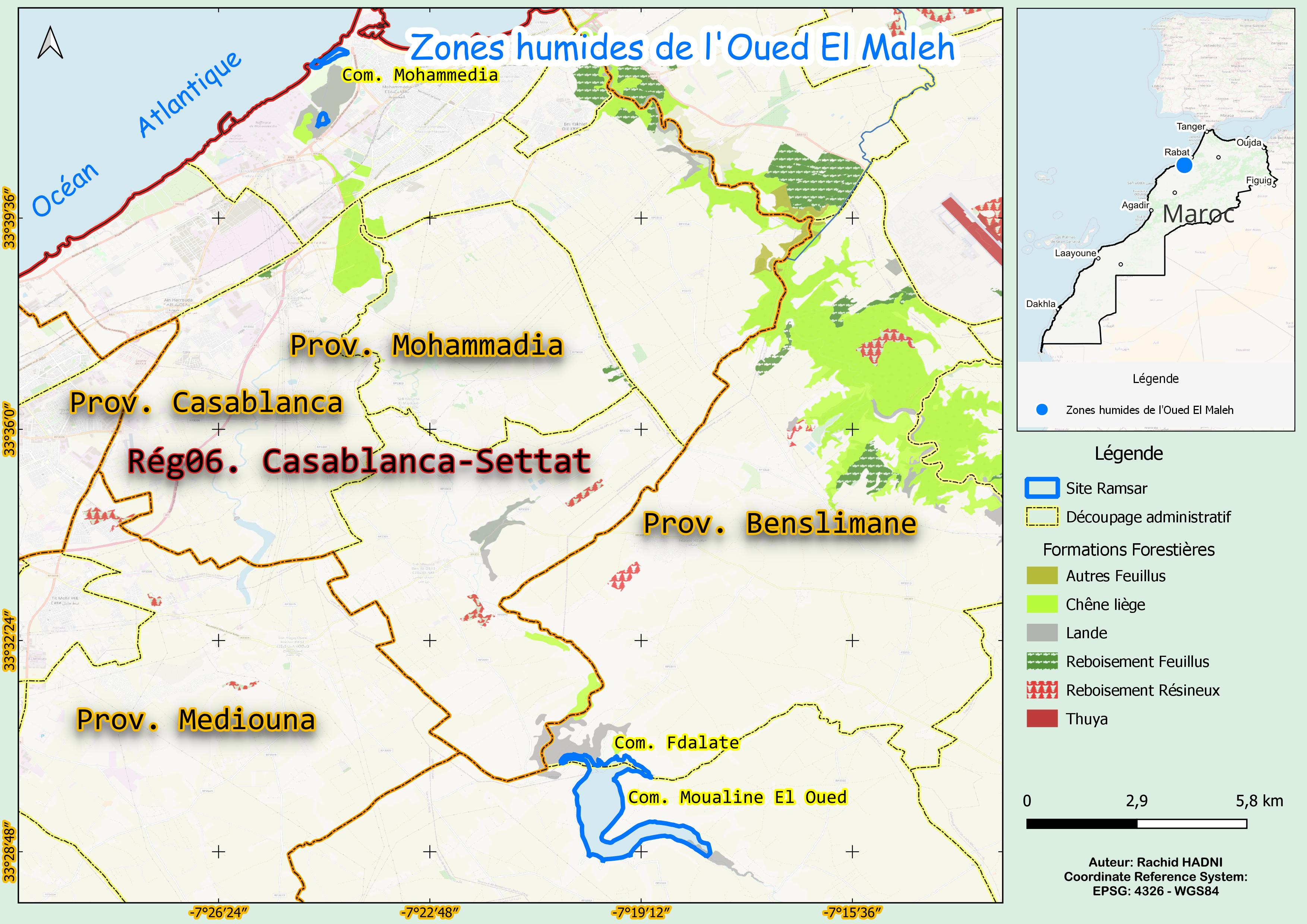
Zones humides de l'oued El Maleh
Zones humides de l'oued El Maleh
- Country:
- Morocco
- Site number:
- 1486
- Area:
- 450.0 ha
- Designation date:
- 15-01-2005
- Coordinates:
- 33°30'06"N 07°19'50"W
Carousel
Carousel


Materials presented on this website, particularly maps and territorial information, are as-is and as-available based on available data and do not imply the expression of any opinion whatsoever on the part of the Secretariat of the Ramsar Convention concerning the legal status of any country, territory, city or area, or of its authorities, or concerning the delimitation of its frontiers or boundaries.
This wetland complex in the city of Mohammedia is recognized as a Site of Biological and Ecological Interest. It consists of two distinct ecosystems: a littoral swamp and salt steppe at the estuary of the El Maleh River, and a small reservoir located 30 kilometres upstream. The site serves as a crucial refuge for migratory and wintering birds, including the marbled teal (Marmaronetta angustirostris). The reservoir plays a key role in supporting agriculture and fishing in the region while also contributing to flood control. However, sedimentation has significantly reduced its water volume, and the canalization of parts of the estuary has failed to prevent destructive flooding events. The estuary is used for environmental education, with school programmes raising awareness of wetland conservation. Despite its ecological importance, the Site faces severe pollution from surrounding chemical, mechanical and electrical industries, as well as hydrological alterations due to canal construction.
- Site of Biological and Ecological Interest
- MA1486RIS_2503_fr.pdf
- MA1486RISformer_220830.pdf
- MA1486_map230807.jpg