
Parque Estatal Cañón de Fernández
Parque Estatal Cañón de Fernández
- Country:
- Mexico
- Site number:
- 1747
- Area:
- 17,001.5 ha
- Designation date:
- 02-02-2008
- Coordinates:
- 25°20'23"N 103°43'33"W
Carousel
Carousel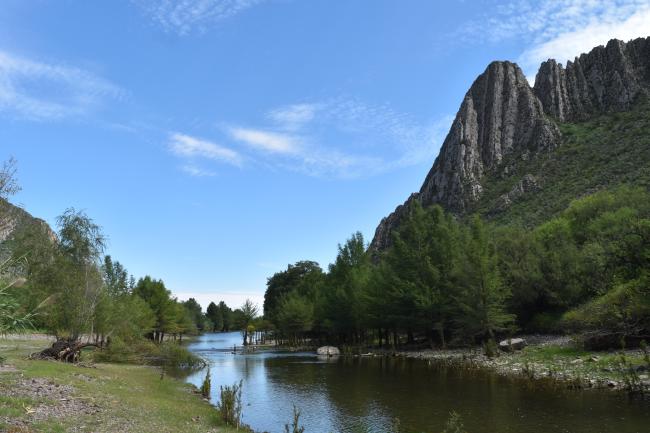
Materials presented on this website, particularly maps and territorial information, are as-is and as-available based on available data and do not imply the expression of any opinion whatsoever on the part of the Secretariat of the Convention on Wetlands concerning the legal status of any country, territory, city or area, or of its authorities, or concerning the delimitation of its frontiers or boundaries.
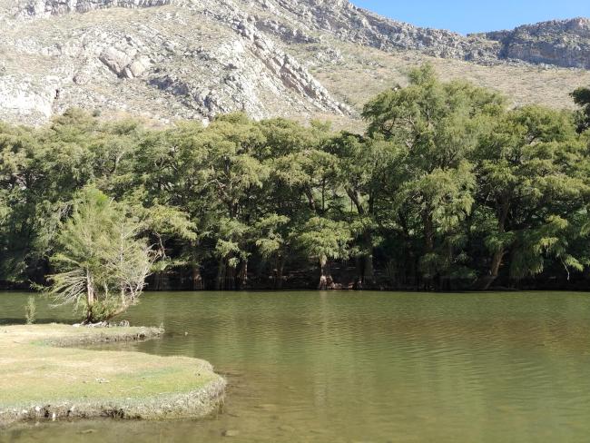
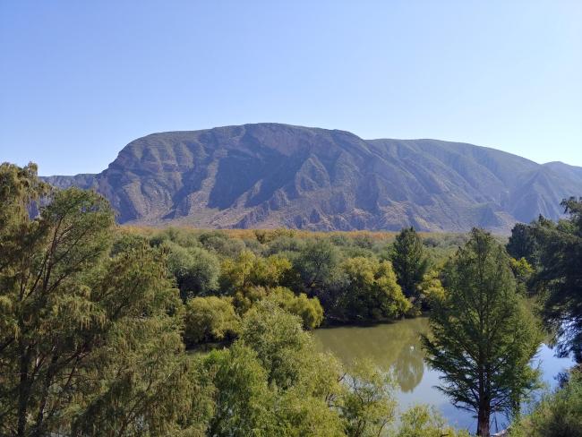
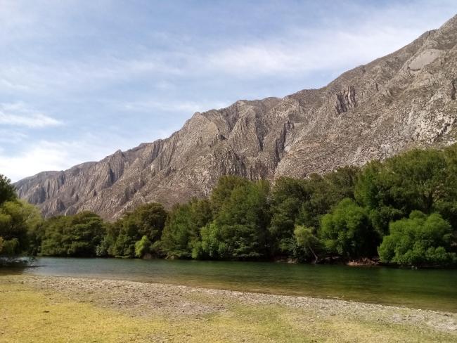
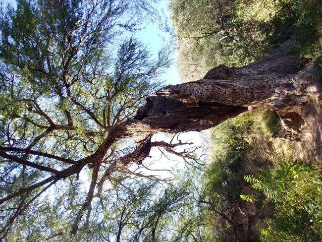
The Site is a riparian wetland crossed by the Nazas River, dominated by dry-adapted vegetation. Its diverse landscapes include gallery forests, aquatic habitats, floodplains, cliffs and canyons. Acting as a key biological corridor, it connects the Chihuahuan Desert with the temperate forests of the Sierra Madre Occidental and provides refuge for wildlife during droughts. The Site supports high biodiversity, with 348 species recorded, including the critically endangered rainbow goodeid (Characodon lateralis) and the endangered Yaqui catfish (Ictalurus pricei). It delivers vital ecosystem services such as water purification, erosion control, climate regulation and scenic beauty. Culturally, it is notable for its ancient rock paintings. Major threats include invasive species such as giant cane (Arundo donax), which displaces native plants and increases fire risk. Conservation measures focus on reforestation, rehabilitation of riparian corridors, species protection and long-term wildlife monitoring.
- Parque Estatal - Cañón de Fernández
- MX1747RIS_2601_es.pdf
- MX1747RISformer_221116.pdf
- MX1747_map250224.pdf