
Bahía de San Quintín
Bahía de San Quintín
- Country:
- Mexico
- Site number:
- 1775
- Area:
- 13,989.5 ha
- Designation date:
- 02-02-2008
- Coordinates:
- 30°27'04"N 115°59'W
Carousel
Carousel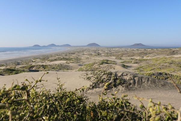
Materials presented on this website, particularly maps and territorial information, are as-is and as-available based on available data and do not imply the expression of any opinion whatsoever on the part of the Secretariat of the Convention on Wetlands concerning the legal status of any country, territory, city or area, or of its authorities, or concerning the delimitation of its frontiers or boundaries.
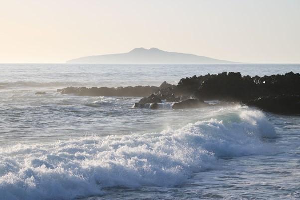
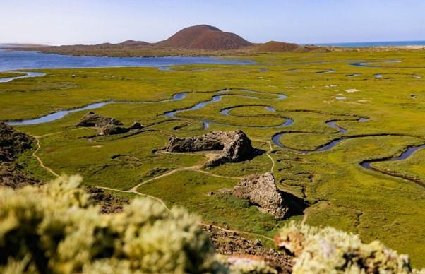
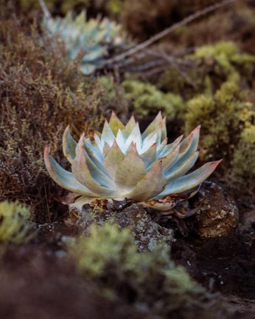
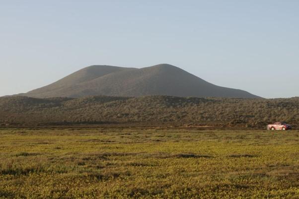
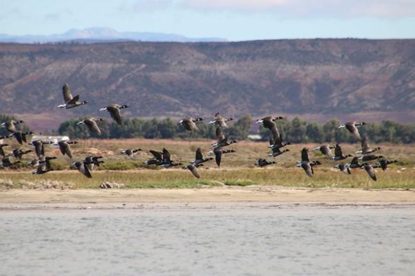
The Site consists of a coastal plain and lagoon in Baja California; it is located in a transition zone between the Nearctic and Neotropical realms, resulting in exceptional biodiversity. Designated in 2008 with an initial area of 5,438 hectares, the Site’s recorded area was amended to nearly 13,990 ha in the 2026 update following a more accurate calculation. The Site’s high productivity, driven by the cold water of the California Current, supports a wide range of species, from macroalgae to fish, mammals, reptiles and amphibians. Over 35,000 shorebirds gather here, including 23 wintering species such as the western sandpiper (Calidris mauri). Endemic species include the critically endangered San Quintin kangaroo rat (Dipodomys gravipes) and the endangered legless lizard (Anniella geronimensis). The lagoon serves as a critical nursery for the commercially important California flounder (Paralichithys californicus). The Site provides vital benefits by stabilizing shorelines, reducing flood risk and supporting agriculture and oyster farming. Current management measures include protection of resting and breeding areas, along with long-term monitoring of water quality and of marine invertebrates, birds, mammals and fish.
- ANP Estatal Áreas Destinadas Voluntariamente a la Conservación). - Reserva Natural Estatal San Quintín
- Áreas Destinadas Voluntariamente a la Conservación). - Reserva Natural Monte Ceniza
- Áreas Destinadas Voluntariamente a la Conservación). - Reserva Natural Punta Mazo
- MX1775RIS_2601_es.pdf
- MX1775RISformer_221011.pdf
- MX1775_map250305.pdf
- MX1775taxo2007.pdf
- MX1775_mgt231019.pdf