


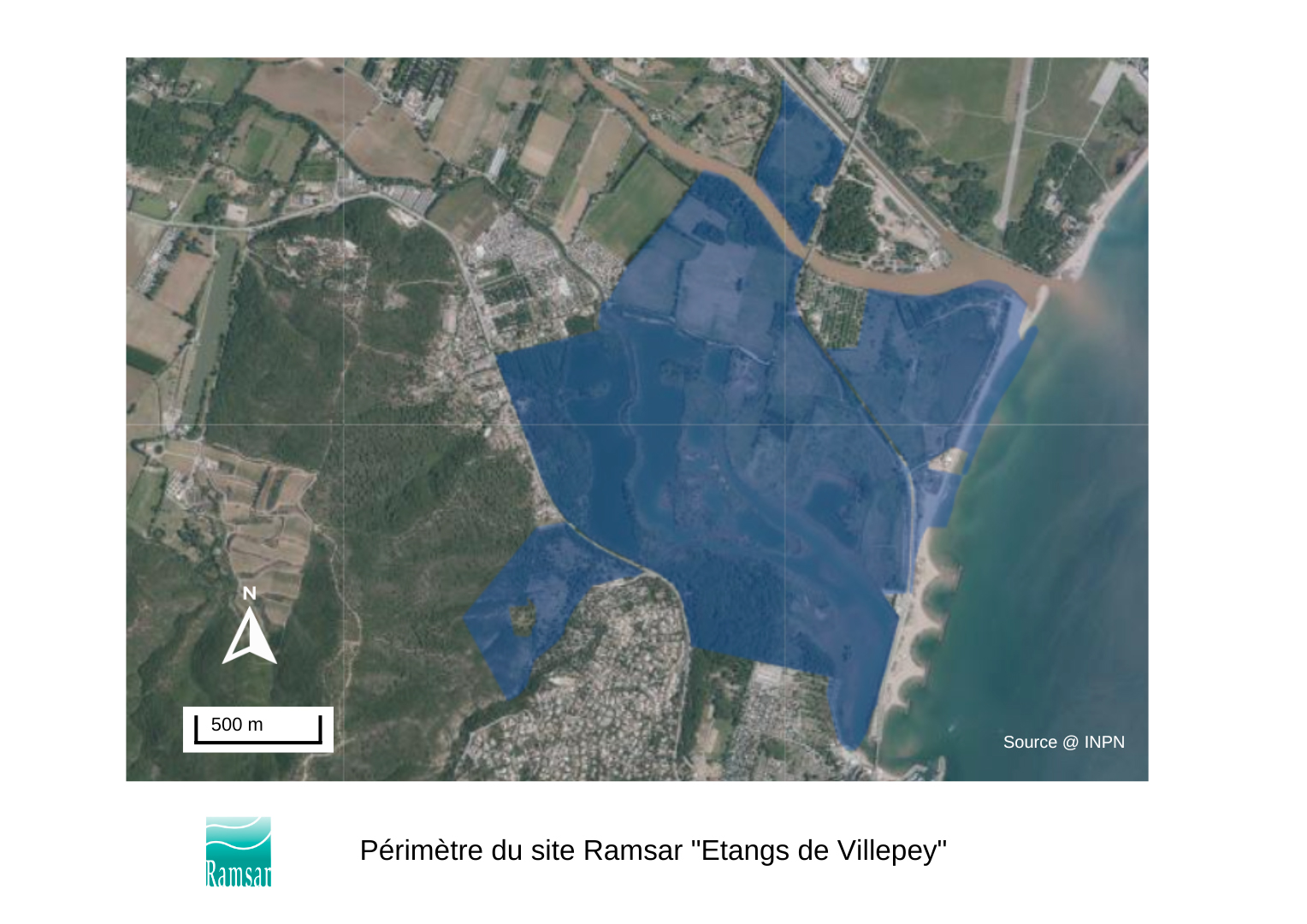
Les étangs de Villepey
- Country:France
- Site number:1836
- Area:270 ha
- Designation date:15-09-2008
- Coordinates:43°24'N 06°43'E
Materials presented on this website, particularly maps and territorial information, are as-is and as-available based on available data and do not imply the expression of any opinion whatsoever on the part of the Secretariat of the Ramsar Convention concerning the legal status of any country, territory, city or area, or of its authorities, or concerning the delimitation of its frontiers or boundaries.
Overview
The Site is located in the lower Argens valley, bordering the Petites Maures hills and the Gulf of Fréjus. One of the last remaining Mediterranean lagoons, its intertidal sand flats, shores, estuarine waters and dune systems, some of which have been created or altered by human activity (such as former gravel pits, cultivated and grazed areas), are home to an exceptional range of heritage flora and fauna. The globally vulnerable southern water vole (Arvicola sapidus) and long-fingered bat (Myotis capaccinii) are found. The agricultural activities taking place on the Site include cereal and rapeseed cultivation, sheep farming, eucalyptus foliage production, Provence cane farming and beekeeping. Potential factors that could adversely impact the ecological character of the Site are extractive activities, run-off of pollutants from industrial activities, and urban development.
Administrative region:
Provence - Alpes Cote d'Azur
- National legal designation:
- Conservatoire du Littoral
- Regional (international) legal designations:
- EU Natura 2000
- Last publication date:13-07-2023
Downloads
Ramsar Information Sheet (RIS)
Archived RIS
Site map
Additional reports and documents
- Taxonomic lists of plant and animal species occurring in the site
- Site management plan
- Other published literature