


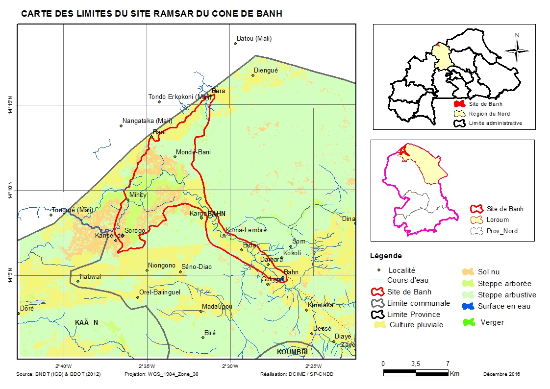
Cône d'épandage de Banh
- Country:Burkina Faso
- Site number:1877
- Area:10,003 ha
- Designation date:07-10-2009
- Coordinates:14°09'N 02°33'W
Materials presented on this website, particularly maps and territorial information, are as-is and as-available based on available data and do not imply the expression of any opinion whatsoever on the part of the Secretariat of the Ramsar Convention concerning the legal status of any country, territory, city or area, or of its authorities, or concerning the delimitation of its frontiers or boundaries.
Overview
The Site is an alluvial fan formation close to the border with Mali, which features seasonal rivers and lakes, and also artificial wetlands such as seasonally flooded agricultural land and water storage areas. The ecosystem is dominated by dry forests occupying closed micro-depressions, connected by channels which ensure their water supply. The temporary water bodies spread in winter and are absorbed into the soil when the dry season starts. The landscape is notable because of the size of the floodplain and the dense vegetation dominated by spiny shrub and Combretaceae. The vegetation also extends as gallery forest upstream beyond Banh. The vegetation hosts species such as warthog, crocodile and jackal. It is a refuge for thousands of birds including francolin and guinea fowl, and migratory birds coming (according to the farmers) from the inner delta of the Niger River. The Site also attracts livestock farmers; the end of the rainy season and the drying up of the temporary ponds leads to a convergence of herds towards the wetland. The customary regulation put in place by the stockbreeders prohibits agricultural activities in the endorheic basin of the Sourindou-Mihity, as it constitutes their refuge in case of drought.
Administrative region:
Loroum
- Last publication date:27-03-2017
Downloads
Ramsar Information Sheet (RIS)
Archived RIS
Site map
Additional reports and documents
- Taxonomic lists of plant and animal species occurring in the site
- Other published literature