


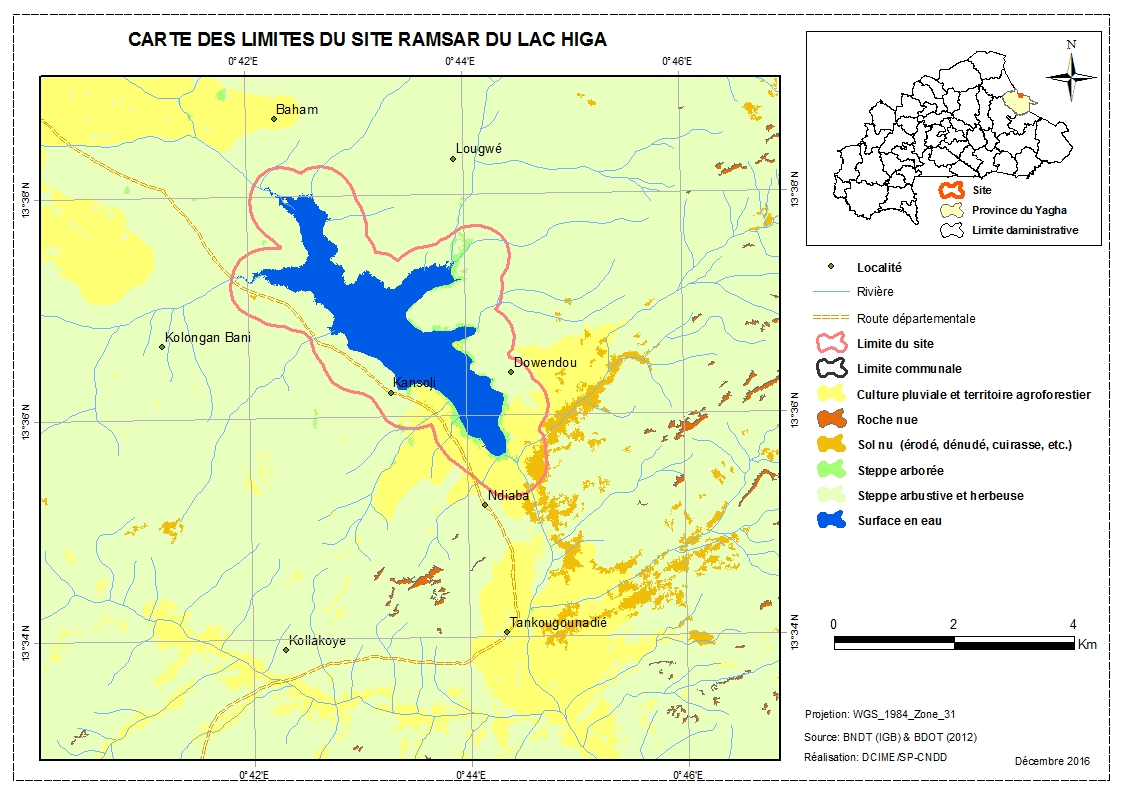
Lac Higa
- Country:Burkina Faso
- Site number:1883
- Area:1,514 ha
- Designation date:10-07-2009
- Coordinates:13°36'N 00°43'E
Materials presented on this website, particularly maps and territorial information, are as-is and as-available based on available data and do not imply the expression of any opinion whatsoever on the part of the Secretariat of the Ramsar Convention concerning the legal status of any country, territory, city or area, or of its authorities, or concerning the delimitation of its frontiers or boundaries.
Overview
Situated on the Yali River in the north-east of the country, Lac Higa (Higa Lake) is composed of permanent freshwater lakes, seasonal rivers and water storage areas. The Lake is one of the most important water resources in Burkina Faso’s Sahel and a favourable ecosystem for many plant and animal species. Of the 121 known fish species in Burkina Faso, 27 are found in the Lake; an inventory carried out between 2012 and 2014 identified 98 species of savannah birds, including 81 African species and 17 which migrate from Europe. Some of these are waterbirds such as pelicans, ducks and cranes, which use it to nest. These species are threatened primarily by the destruction of their habitat due to human activities and climate change. The Lake provide benefits such as drinking water supply, groundwater replenishment, flood control, storm protection, sediment and nutrient retention, and stabilization of the microclimate. It represents an economic asset for local people, who use it for farming and fishing. Potential threats to the sustainability of the Lake are related to climate change and the increased pressure of crop and livestock farming, which is leading to greater erosion and siltation, and possible degradation of the ecosystem.
Administrative region:
Région du Sahel
- Last publication date:27-04-2017
Downloads
Ramsar Information Sheet (RIS)
Archived RIS
Site map
Additional reports and documents
- Taxonomic lists of plant and animal species occurring in the site