Site Ramsar Vallée du Niari
Site Ramsar Vallée du Niari
- Country:
- Congo
- Site number:
- 2081
- Area:
- 1,581,000.0 ha
- Designation date:
- 18-09-2012
- Coordinates:
- 03°46'59"S 12°30'E
Carousel
Carousel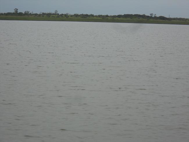
Materials presented on this website, particularly maps and territorial information, are as-is and as-available based on available data and do not imply the expression of any opinion whatsoever on the part of the Secretariat of the Ramsar Convention concerning the legal status of any country, territory, city or area, or of its authorities, or concerning the delimitation of its frontiers or boundaries.
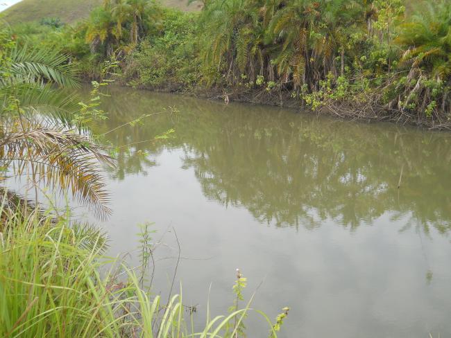
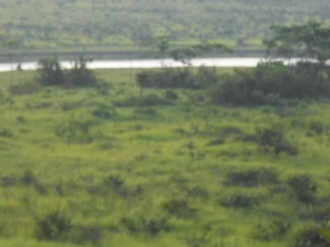
Site Ramsar Vallée du Niari. 18/09/2012; Niari; 1,581,000 ha; 03°47'S 012°30'E. A complex of permanent freshwater rivers and lakes surrounded by seasonally flooded freshwater swamp forests. It supports a rich diversity of plant and animal species including several IUCN Red-Listed species such as the African elephant (Loxodonta africana), Western lowland Gorilla (Gorilla gorilla gorilla) and Chimpanzee (Pan troglodytes). It is a migrating path for over 200 waterbird species and serves as a spawning ground and food source for several fish species. Its main hydrological functions include groundwater recharge, flood control, shoreline stabilisation, and sediment trapping. Ecotourism activities, especially bird-watching, are currently being developed in the site. It is of great cultural value to the resident population, who depend on fishing, hunting, agriculture and harvesting of forest products for a source of livelihood. The site is threatened by slash and burn agriculture and wood logging. This has promoted the current development of a management plan for its exploitation. Ramsar site no. 2081. Most recent RIS information 2012.
Administrative region:
Niari, Bouenza, Kouilou
Last publication date:
18-09-2012
Ramsar Information Sheet (RIS)
- CG2081RIS.pdf
- CG2081map1.pdf
- CG2081map2.pdf
Site map
Additional reports and documents
Other published literature