Zones Humides Ankarafantsika (CLSA)
Zones Humides Ankarafantsika (CLSA)
- Country:
- Madagascar
- Site number:
- 2289
- Area:
- 33,145.0 ha
- Designation date:
- 02-02-2017
- Coordinates:
- 16°16'46"S 46°53'23"E
Carousel
Carousel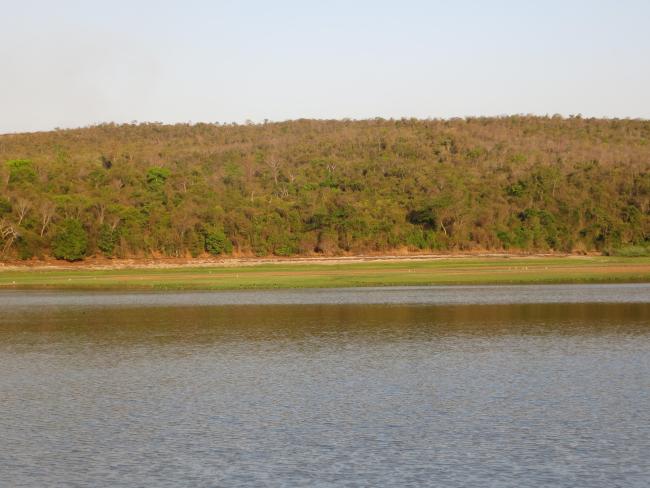
Materials presented on this website, particularly maps and territorial information, are as-is and as-available based on available data and do not imply the expression of any opinion whatsoever on the part of the Secretariat of the Convention on Wetlands concerning the legal status of any country, territory, city or area, or of its authorities, or concerning the delimitation of its frontiers or boundaries.
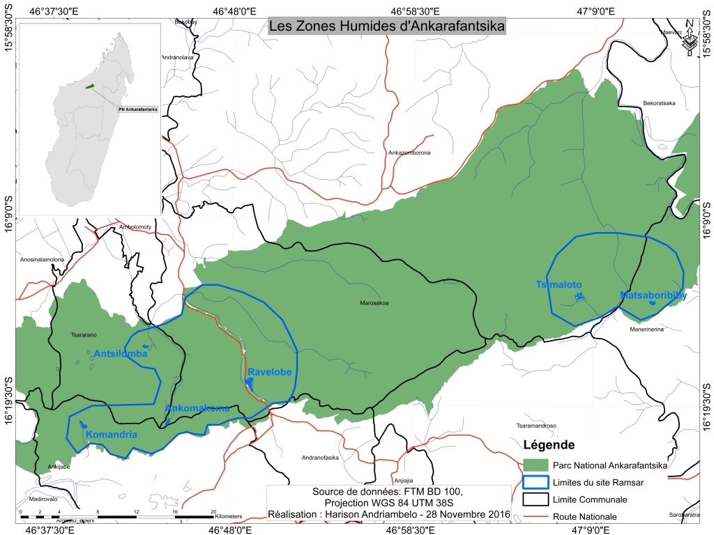
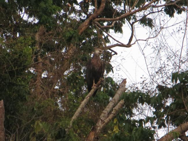
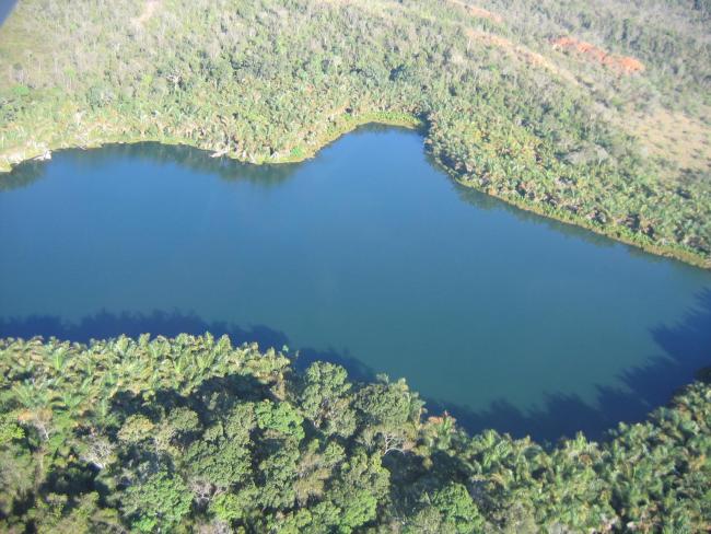
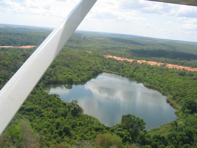
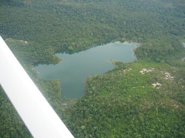
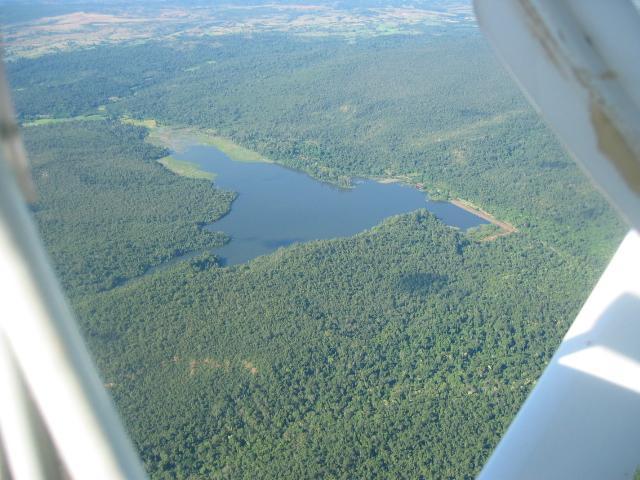
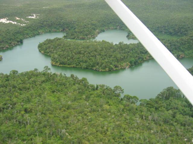
The Site covers 33,200 hectares in two separate units of Ankarafantsika National Park. It comprises a complex of six permanent lakes, associated rivers and streams, and raffia palm swamps. The wetland is bordered by dense dry forests and supports high biodiversity, with 823 species recorded, of which more than 90 percent are endemic to Madagascar. Threatened plants of the genera Diospyros, Dalbergia, and Adansonia are found, while its animals include the critically endangered Madagascar big-headed turtle (Erymnochelys madagascariensis), the Nile crocodile, and 15 fish species, five of which are both endemic and threatened. Twenty-two waterbird species are present, including Humblot’s heron (Ardea humbloti), the Madagascar grebe (Tachybaptus pelzelnii), and the Malagasy pond heron (Ardeola idae). The Site provides essential ecosystem services for surrounding communities, notably water supply to the Marovoay rice plain, the second-largest rice-growing area in the country. Several of the lakes are considered sacred by Sakalava communities and hold cultural and spiritual significance.
- World Heritage site
- Parc National - Madagascar
- MG2289RIS_2511_fr.pdf
- MG2289RISformer_240528_1702_fr.pdf
- MG2289_map161130.jpg
- MG2289_mgt161124.pdf