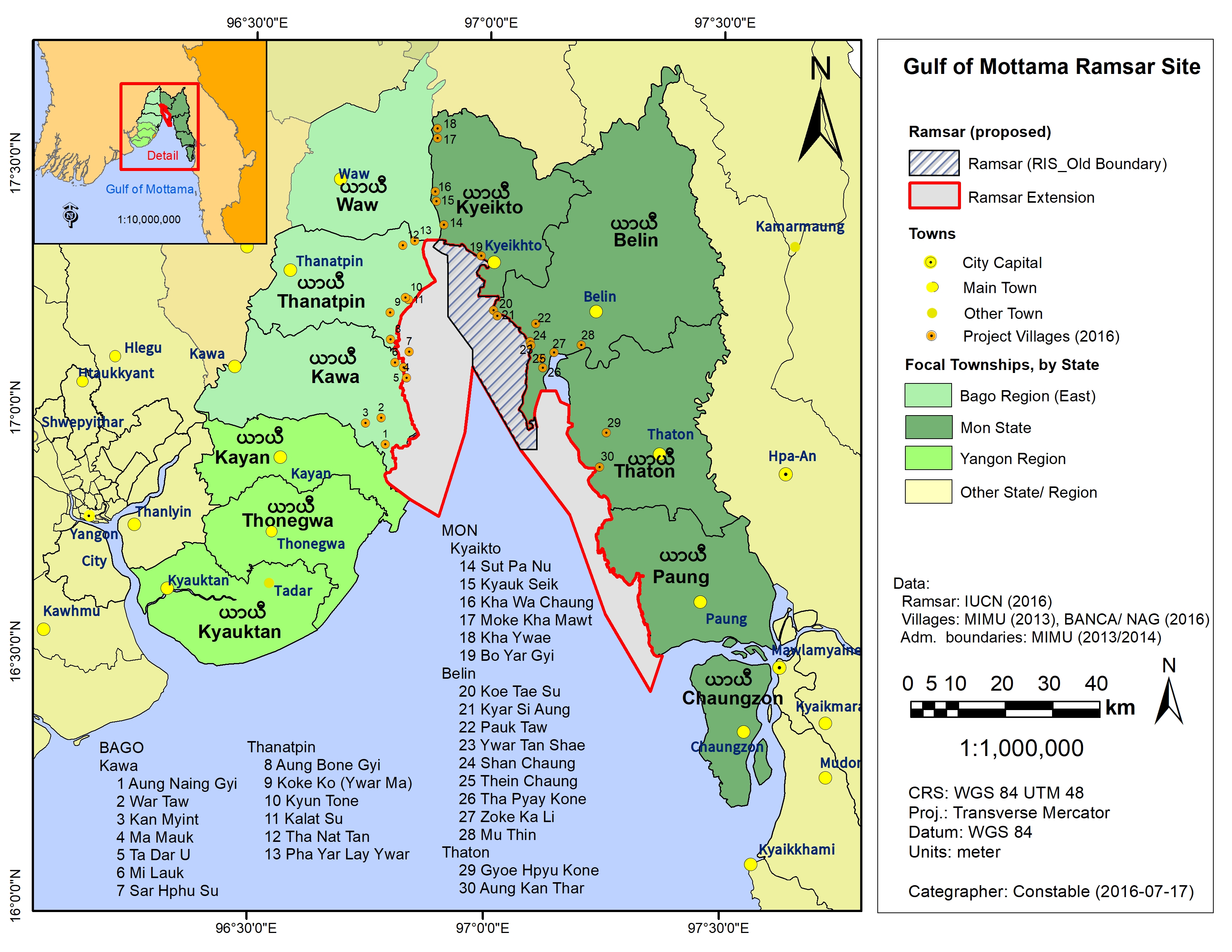
Gulf of Mottama
Gulf of Mottama
- Country:
- Myanmar
- Site number:
- 2299
- Area:
- 161,030.0 ha
- Designation date:
- 10-05-2017
- Coordinates:
- 16°59'10"N 97°01'09"E
Carousel
Carousel


Materials presented on this website, particularly maps and territorial information, are as-is and as-available based on available data and do not imply the expression of any opinion whatsoever on the part of the Secretariat of the Ramsar Convention concerning the legal status of any country, territory, city or area, or of its authorities, or concerning the delimitation of its frontiers or boundaries.
The Gulf of Mottama is situated at the mouth of the Sittaung River of the larger Gulf of Mottama. The designated area was extended from 42,500 hectares to 161,030 ha in 2020, to include a greater area of this unique estuarine mudflat environment. The Gulf has a tidal range of between six and seven metres; the mouth, which is around 100 kilometres wide, narrows into a funnel-shaped bay to produce a powerful bore phenomenon that can reach heights of over a metre on spring tides in the upper estuary. As a result the tidal mudflats of the Gulf are among the largest in the world. The Site supports a large number of species including marine fish, invertebrates and up to 150,000 migratory waterbirds in the non-breeding season. Among these waterbirds is the critically endangered spoon-billed sandpiper (Eurynorhynchus pygmeus), of which the Site perhaps hosts more than half of the remaining global population. The Gulf of Mottama also supports the livelihoods of thousands of people by providing fish for local and regional consumption.
- MM2299RIS_2002_en.pdf
- MM2299RISformer_190515_1705_en.pdf
- MM2299_map200116_1.jpg
- MM2299_taxo170123.pdf
- MM2299_mgt191206.pdf