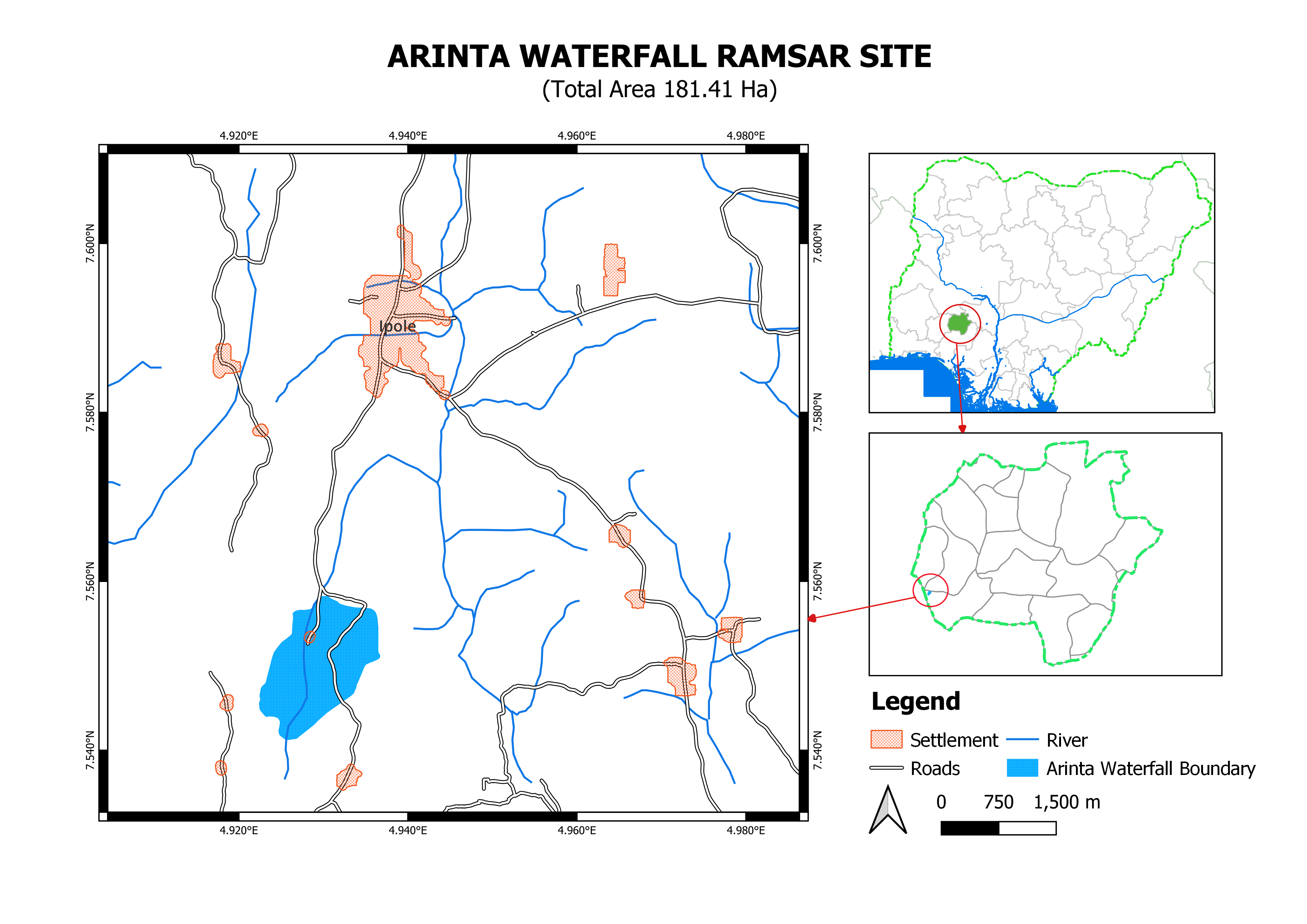
Arinta Waterfall
Arinta Waterfall
- Country:
- Nigeria
- Site number:
- 2565
- Area:
- 181.4 ha
- Designation date:
- 01-03-2024
- Coordinates:
- 07°33'01"N 04°55'43"E
Carousel
Carousel


Materials presented on this website, particularly maps and territorial information, are as-is and as-available based on available data and do not imply the expression of any opinion whatsoever on the part of the Secretariat of the Ramsar Convention concerning the legal status of any country, territory, city or area, or of its authorities, or concerning the delimitation of its frontiers or boundaries.
The Arinta Waterfall is part of a turbulent stream that cascades down high rocky hills to form a flowing pool of spring water amidst natural forest vegetation in Ipole Iloro town. The waterfall creates unique aquatic habitats that are vital to a variety of plants such as red nongo (Albizia zygia), kapok (Ceiba pentandra), red-fruited stinkwood (Celtis mildbraedii) and African nut tree (Ricinodendron heudelotii). It also provides habitat for the endangered grey parrot (Psittacus erithacus). It is a natural freshwater source, essential for drinking, irrigation and industry, and helps control erosion by redistributing sediment and maintaining soil fertility. The area also plays a role in local climate regulation, influencing humidity levels and cooling surrounding areas. The waterfall has aesthetic and cultural significance, attracting tourists who enjoy recreational activities such as swimming, hiking and nature observation.
- NG2565RIS_2503_en.pdf