
Lake Inawashiro
Lake Inawashiro
- Country:
- Japan
- Site number:
- 2574
- Area:
- 10,960.0 ha
- Designation date:
- 15-07-2025
- Coordinates:
- 37°28'37"N 140°05'28"E
Carousel
Carousel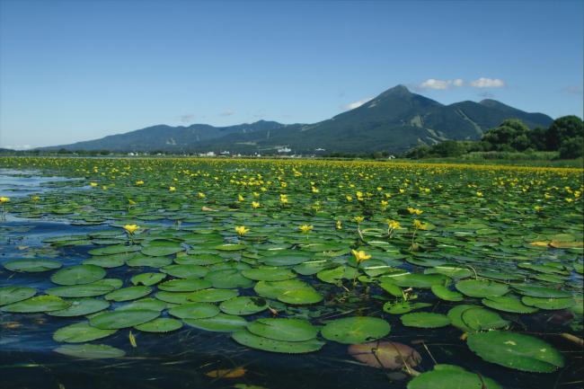


Materials presented on this website, particularly maps and territorial information, are as-is and as-available based on available data and do not imply the expression of any opinion whatsoever on the part of the Secretariat of the Convention on Wetlands concerning the legal status of any country, territory, city or area, or of its authorities, or concerning the delimitation of its frontiers or boundaries.
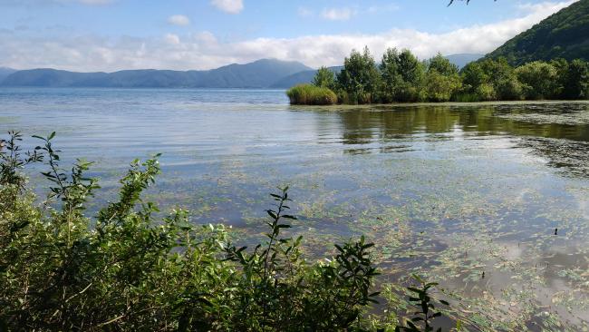
The Site is located at the foot of Mount Bandai and is surrounded by rice fields and coastal forests. The Lake, formed by a volcanic eruption 50,000 years ago, is the fourth largest in Japan. As the Lake does not completely freeze over during the winter, it is a vital overwintering habitat for swans and ducks. Notably, over the five years to 2025, an average of over 800 tundra swans (Cygnus columbianus bewickii) were recorded at the Site. Sand and mud in the northern part of the Lake create suitable conditions for the only known breeding ground in Fukushima prefecture of the fringed water-lily (Nymphoides peltata). While the Lake’s water was acidic in the 1930s, it has become neutral since then, though the exact cause of this change remains unclear. The Site is a popular destination for recreational activities such as swimming, birdwatching and camping.
- Class A River - Lake Inawashiro
- National Natural Monument - Lake Inawashiro's Marsh Forklet-moss community
- National Natural Monument - The swans of Inawashiro Lake and their migratory grounds
- National Park - Bandai Asahi National Park
- Wildlife Protection Area - Prefectural Wildlife Protection Area (Inawashiro (The visiting spot for the birds in group))
- JP2574RIS_2507_en.pdf
- JP2574_map261023.pdf