
Soudah Waterfall
Soudah Waterfall
- Country:
- Saudi Arabia
- Site number:
- 2598
- Area:
- 33.0 ha
- Designation date:
- 14-05-2026
- Coordinates:
- 18°13'32"N 42°25'19"E
Carousel
Carousel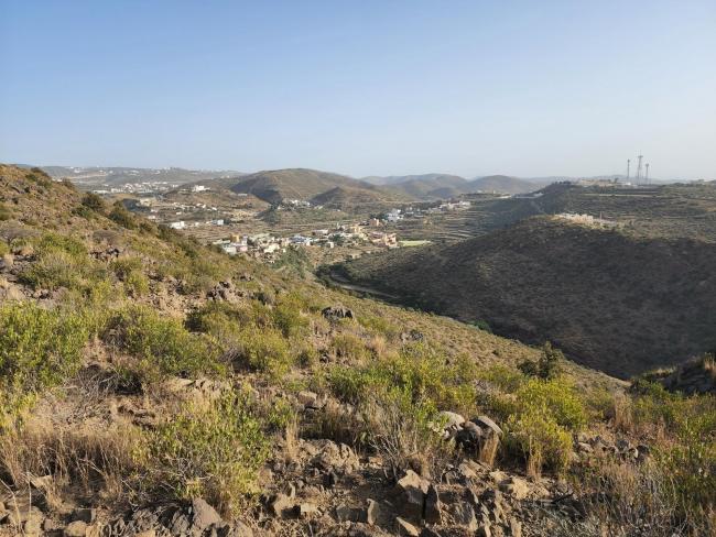
Materials presented on this website, particularly maps and territorial information, are as-is and as-available based on available data and do not imply the expression of any opinion whatsoever on the part of the Secretariat of the Convention on Wetlands concerning the legal status of any country, territory, city or area, or of its authorities, or concerning the delimitation of its frontiers or boundaries.
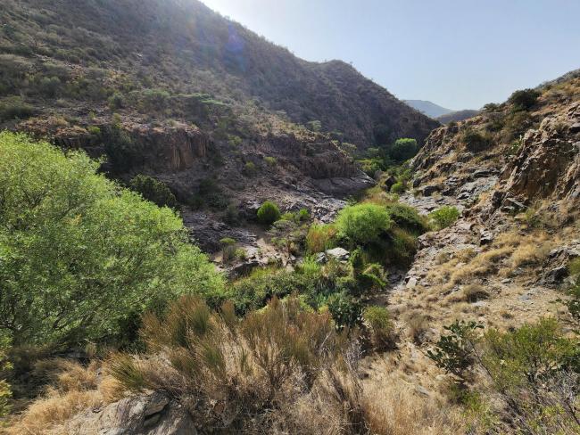
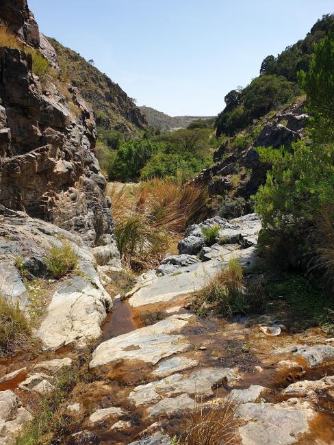
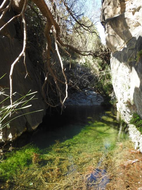
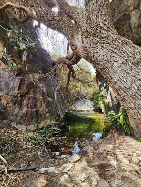
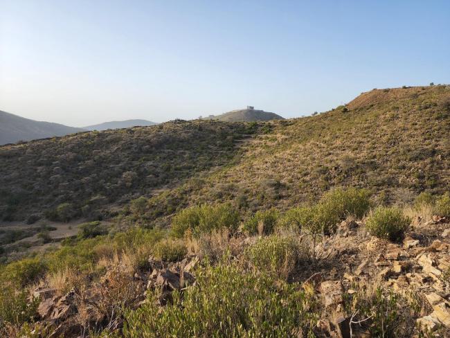
This spring-fed waterfall with a year-round water supply is a rare feature on the arid Arabian Peninsula. Located in the high-altitude zone of the Asir Mountains, it serves as one of the few remaining refuges for wildlife when other wadis in the region dry out. The Site comprises permanent freshwater pools, rocky gorges that provide shade, riparian corridors, and Juniperus procera woodland. Together, these features create moist and shaded microhabitats that support a diverse range of regionally significant wetland-dependent species, particularly invertebrates, amphibians, and reptiles. The Site is especially important for dragonfly conservation, supporting populations of the endangered Pseudagrion arabicum and the vulnerable Pinheyschna yemenensis. It also provides habitat for several Arabian endemic species, including Anderson’s rock agama (Acanthocercus adramitanus), the Arabian tree frog (Hyla felixarabica), and Coleus arabicus, a subshrub characteristic of the Arabian highlands. The main pressures on the Site are the spread of invasive Opuntia species and pollution from littering. A management plan is in place to address these issues through targeted conservation actions. Although the Site was previously accessible for recreation, public access has been restricted since 2023 to support rewilding and ecological restoration.
- SA2598RIS_2607_en.pdf
- SA2598_map260608.pdf
- SA2598_taxo260318.xlsx