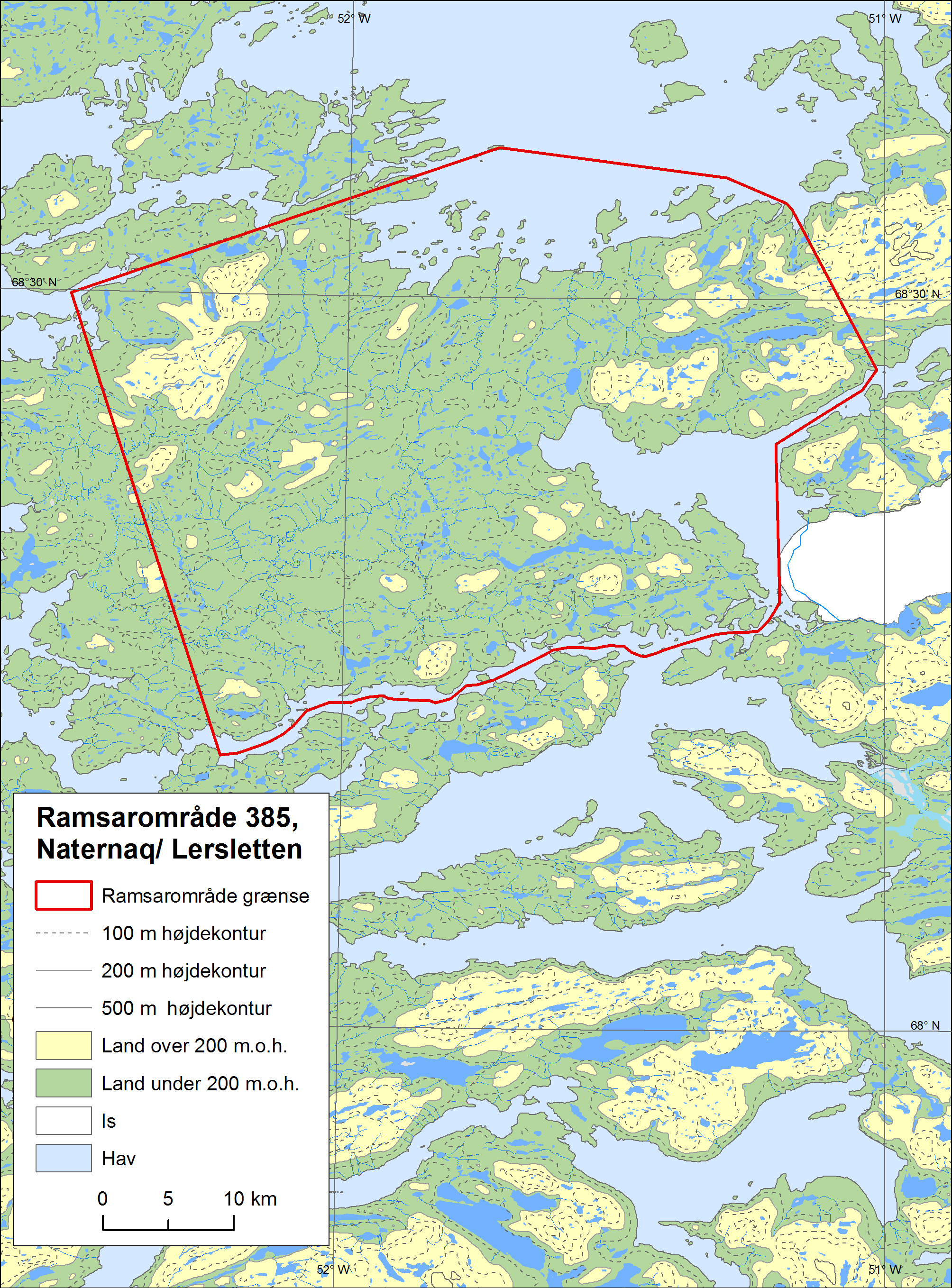
Naternaq
Naternaq
- Country:
- Denmark (Greenland)
- Site number:
- 385
- Area:
- 191,000.0 ha
- Designation date:
- 27-01-1988
- Coordinates:
- 68°24'42"N 51°46'24"W
Carousel
Carousel


Materials presented on this website, particularly maps and territorial information, are as-is and as-available based on available data and do not imply the expression of any opinion whatsoever on the part of the Secretariat of the Ramsar Convention concerning the legal status of any country, territory, city or area, or of its authorities, or concerning the delimitation of its frontiers or boundaries.
Naternaq is one of the most important wetland complexes in western Greenland; it comprises an extensive marshy plain, numerous shallow lakes and meandering streams. The Site supports diverse communities with lush vegetation, such as dense moss mats, marshes and dwarf scrub heath. The several globally threatened species found include the fin whale, long-tailed duck and the caribou. It is also a very important area for the nationally endangered Greenland white-fronted goose (Anser albifrons flavirostris), as it supports more than 1.8% of its breeding and moulting population. Their numbers have been decreasing in recent years, as the Site previously supported 9%. There are no permanent human settlements, but subsistence hunting, leisure hunting and fishing take place both along the coast and inland. In addition, other tourist activities such as hiking, kayaking and the establishment of vacation huts are increasing, and are seen as potential threats to the Site.
- Area important to wildlife (Anon. 2000)
- Breeding Bird Reserve
- Ramsar site - Naternaq
- DK385RIS_1907_en.pdf
- DK385RISformer_171128.pdf
- DK385_map171213.png
- DK385_descr180101.pdf