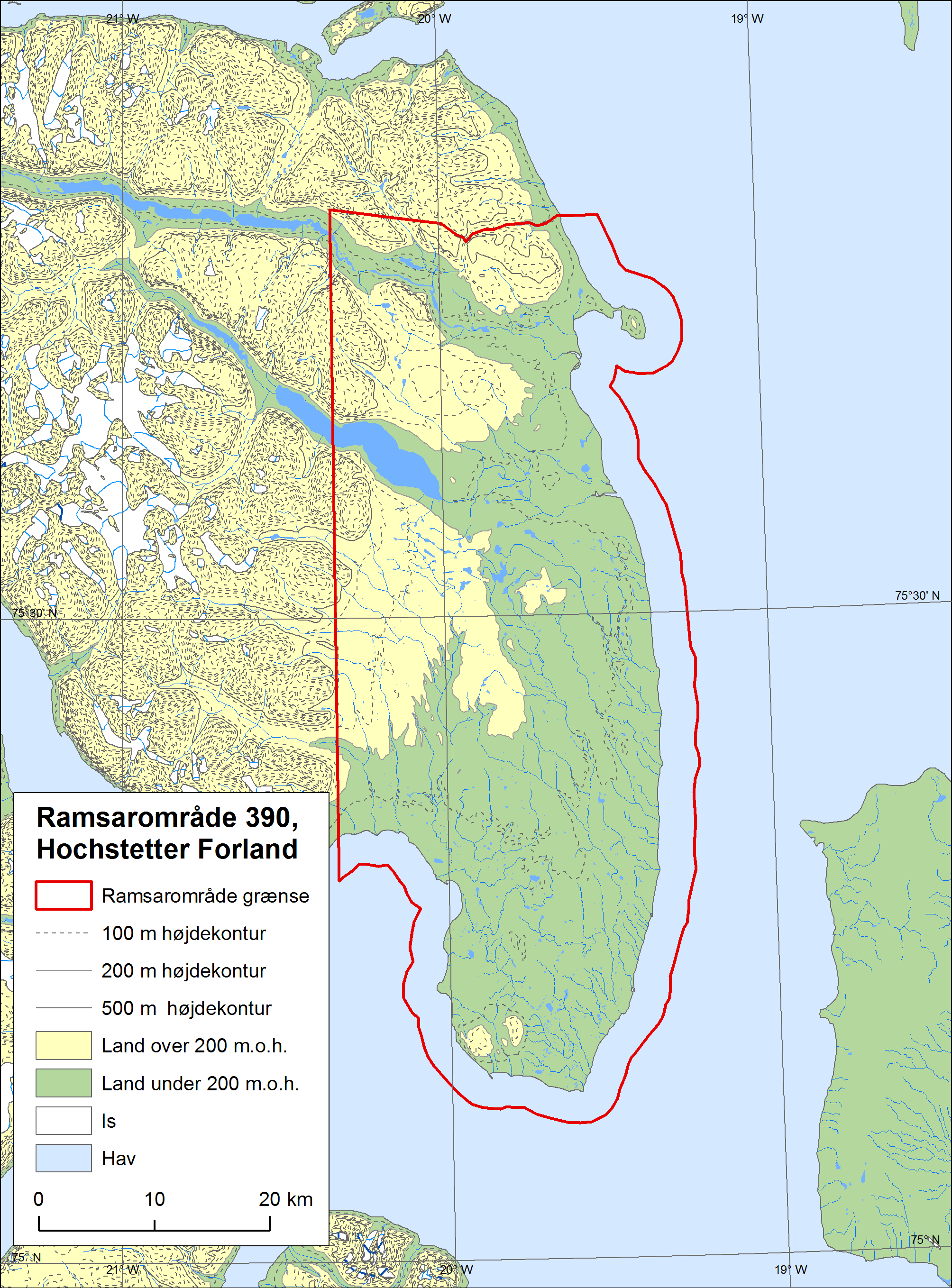
Hochstetter Forland
Hochstetter Forland
- Country:
- Denmark (Greenland)
- Site number:
- 390
- Area:
- 207,000.0 ha
- Designation date:
- 27-01-1988
- Coordinates:
- 75°28'43"N 19°47'46"W
Carousel
Carousel


Materials presented on this website, particularly maps and territorial information, are as-is and as-available based on available data and do not imply the expression of any opinion whatsoever on the part of the Secretariat of the Ramsar Convention concerning the legal status of any country, territory, city or area, or of its authorities, or concerning the delimitation of its frontiers or boundaries.
Hochstetter Forland is an extensive lowland area gently sloping down to the Greenland Sea. The higher parts are dominated by dwarf scrub heaths, and the lower areas by grassland, marshes, and numerous ponds. Two large rivers cross the lowland on their way to the sea. The Site supports a rich diversity of breeding waterbirds and is an especially important moulting area for the pink-footed goose (Anser brachyrhynchus). It also hosts several nationally and internationally endangered species, such as the Arctic wolf, the polar bear and the snowy owl. One of the only three species of freshwater fish in Greenland, the Arctic char, spawns in the Site. The surrounding sea is covered by ice throughout most of the year, and some seasonal harvesting of natural resources is carried out by local people, although hunting is regulated.
- Areas important for wildlife (Anon. 2000)
- National Park - North and East Greenland National Park
- Ramsar site - Hochstetter Forland
- DK390RIS_1905_en.pdf
- DK390RISformer_171128.pdf
- DK390_map171212.png