


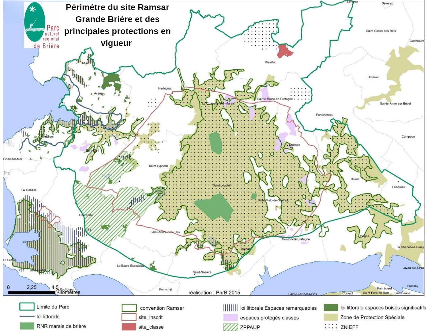
Marais de Grande Briere
- Country:France
- Site number:713
- Area:17,355 ha
- Designation date:01-02-1995
- Coordinates:47°22'N 02°12'W
Materials presented on this website, particularly maps and territorial information, are as-is and as-available based on available data and do not imply the expression of any opinion whatsoever on the part of the Secretariat of the Ramsar Convention concerning the legal status of any country, territory, city or area, or of its authorities, or concerning the delimitation of its frontiers or boundaries.
Overview
The Site is composed of flat peatland, vast alluvial marshes, reedbeds, floodplains, stretches of open water and canals. It is the second-largest marsh in France after the Camargue, covering almost 20,000 hectares. The mosaic of natural habitats, ranging from aquatic environments to reedbeds, wet meadows and woodlands, is home to a wide variety of animal and plant species. Some notable waterbirds include the vulnerable aquatic warbler (Acrocephalus paludicola) and common pochard (Aythya ferina). The habitats support more than 1% of the global populations of the northern shoveler (Anas clypeata) and the Eurasian teal (Anas crecca). The Brière marshes are a remarkable nursery site for the critically endangered European eel (Anguilla anguilla). The region is also of great interest for its cultural heritage. Human activities include recreational hunting and fishing. Changes in water levels due to human activities in the surrounding area pose a threat to the Site.
Administrative region:
Loire-Atlantique
- National legal designation:
- Parc Naturel Régional - Brière
- Réserve naturelle régionale des marais de Brière - Région des Pays de la Loire
- Regional (international) legal designations:
- EU Natura 2000
- Last publication date:13-07-2023
Downloads
Ramsar Information Sheet (RIS)
Archived RIS
Site map
Additional reports and documents
- Site management plan
- Other published literature