Lake Kanieris and Kemeri bog
Lake Kanieris and Kemeri bog
- Country:
- Latvia
- Site number:
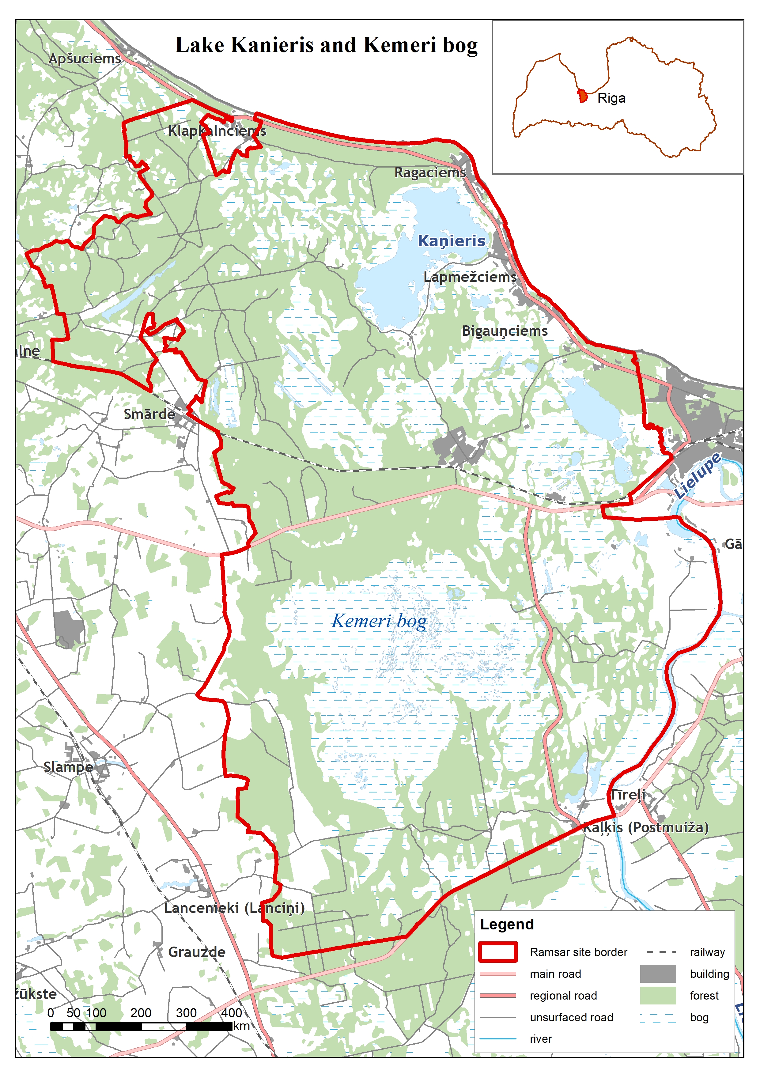
- 739
- Area:
- 36,180.0 ha
- Designation date:
- 25-07-1995
- Coordinates:
- 56°55'33"N 23°27'14"E
Carousel
Carousel


Materials presented on this website, particularly maps and territorial information, are as-is and as-available based on available data and do not imply the expression of any opinion whatsoever on the part of the Secretariat of the Ramsar Convention concerning the legal status of any country, territory, city or area, or of its authorities, or concerning the delimitation of its frontiers or boundaries.
This Site on the Gulf of Riga, which is also a National Park, is made up of forests, mires, diverse water bodies, farmland and shrubland, as well as human settlements. The Site covers not only Lake Kanieris, a shallow lagoon, and three active raised bogs, but also the Slocene River delta swamps with several islands, large reed beds and surrounding floodplain forests to the west of the lake. Besides the floating vegetation of the lake, there is a broad mosaic of large reed beds as well as various habitats in the surrounding meadows, fens and floodplain forests. The Site supports several rare, vulnerable or endangered species or subspecies of plants, such as the orchid Liparis loeselii, and provides feeding and nesting habitats, especially for birds. It is used for science, tourism and activities such as birdwatching, fishing, and hiking. Potential threats include invasive alien species, as well as problematic native species and household sewage and urban wastewater.
- National park - Kemeri National park
- EU Natura 2000
- LV739RIS_2501_en.pdf
- LV739RISformer1995_EN.pdf
- LV739RISformer_141127.pdf
- LV739_map210214.jpg