.")


. These have since been drained because of an alleged mosquito problem.")

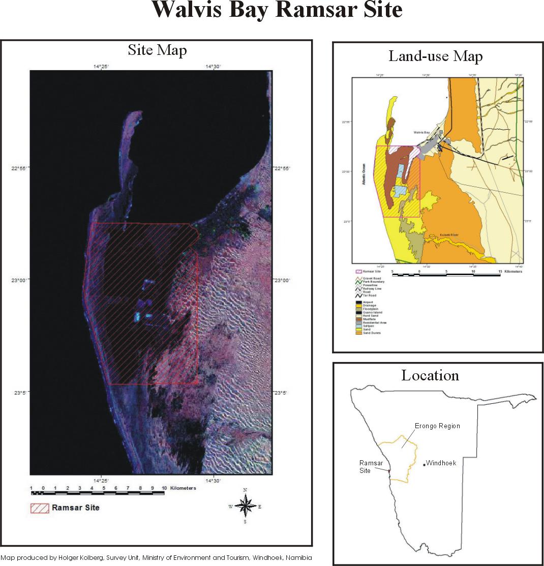
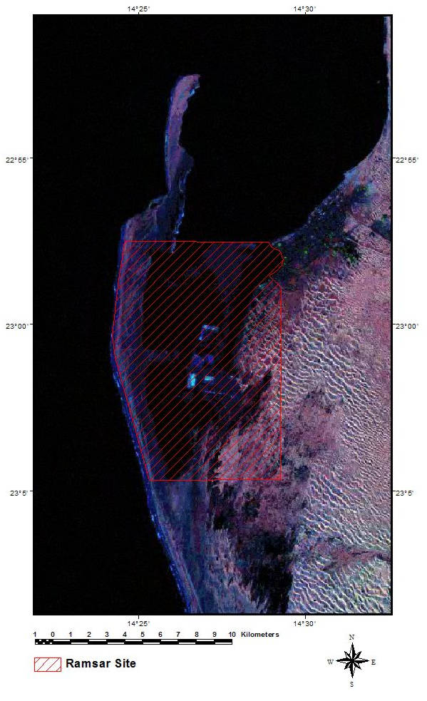
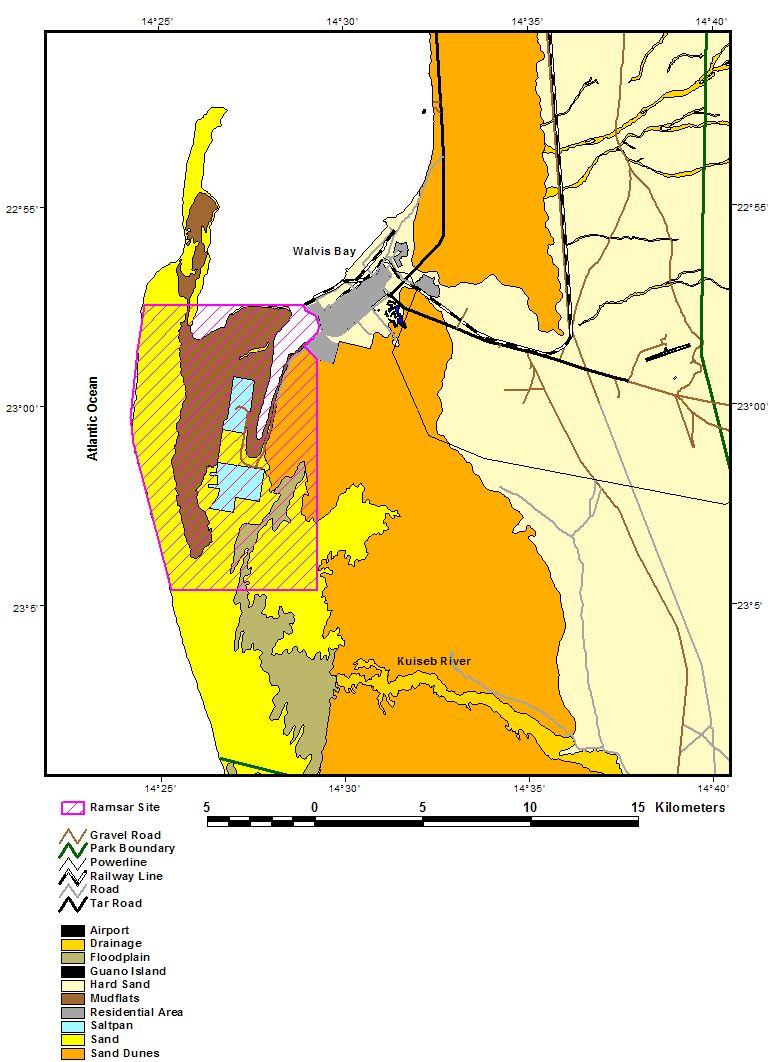
Walvis Bay
- Country:Namibia
- Site number:742
- Area:12,600 ha
- Designation date:23-08-1995
- Coordinates:23°00'S 14°27'E
Materials presented on this website, particularly maps and territorial information, are as-is and as-available based on available data and do not imply the expression of any opinion whatsoever on the part of the Secretariat of the Ramsar Convention concerning the legal status of any country, territory, city or area, or of its authorities, or concerning the delimitation of its frontiers or boundaries.
Overview
Walvis Bay. 23/08/95; 12,600 ha; 23°00'S 014°27'E. Nature Reserve. A tidal lagoon consisting of adjacent intertidal areas, Pelican Point, mudflats exposed at low tide, and sandbars serving as roosting sites. The site supports varying numbers of wetland birds (37,000 to 79,000 individuals); some species such as flamingos occur in impressive numbers. Eleven endangered bird species are regularly observed. Human activities consist of recreation and salt production. Residential development exists along the lagoon, and natural siltation may eventually lead to the infilling. Ramsar site no. 742. Most recent RIS information: 1995.
Administrative region:
Erongo Region
- Last publication date:23-08-1995
Downloads
Ramsar Information Sheet (RIS)
Additional reports and documents
- Taxonomic lists of plant and animal species occurring in the site