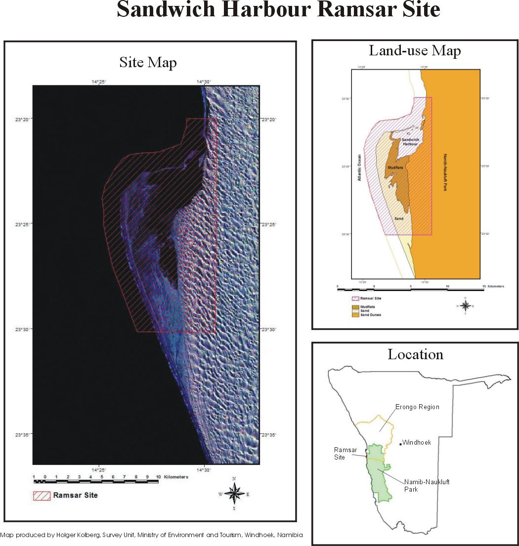
Sandwich Harbour
Sandwich Harbour
- Country:
- Namibia
- Site number:
- 743
- Area:
- 16,500.0 ha
- Designation date:
- 23-08-1995
- Coordinates:
- 23°22'59"S 14°28'59"E
Carousel
Carousel


Materials presented on this website, particularly maps and territorial information, are as-is and as-available based on available data and do not imply the expression of any opinion whatsoever on the part of the Secretariat of the Ramsar Convention concerning the legal status of any country, territory, city or area, or of its authorities, or concerning the delimitation of its frontiers or boundaries.
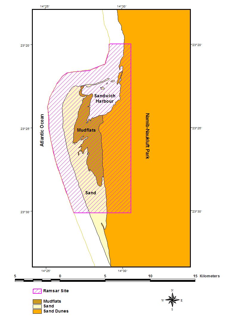
Sandwich Harbour. 23/08/95; 16,500 ha; 23°23'S 014°29'E. Namib-Naukluft Park, Marine Protected Area. Two distinct wetlands and associated mudflats. One is aquifer-fed and supports typical emergent vegetation, but is slowly disappearing due to natural causes. The second, under tidal influence, consists of mudflats and raised shingle bars. One of Namibia's most important coastal wetlands, supporting eight endangered species among the large numbers of wading birds. Several archaeological sites dating back 1,000 years exist within the site. Human activities have included fishing, guano collection, and hunting. The site is used for scientific research, with surrounding areas used for tourism, recreation, and angling. Ramsar site no. 743. Most recent RIS information: 1995.
Administrative region:
Erongo Region
National legal designation:
- national park - Namib Naukluft Park
Last publication date:
23-08-1995
Ramsar Information Sheet (RIS)