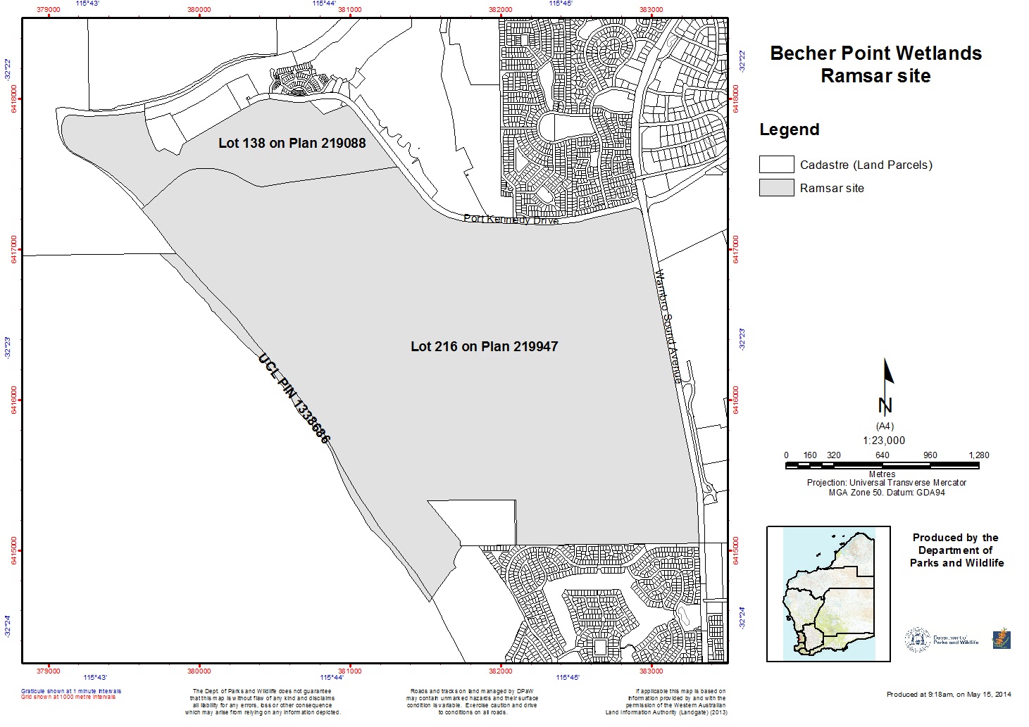
Becher Point Wetlands
Becher Point Wetlands
- Country:
- Australia
- Site number:
- 1048
- Area:
- 708.0 ha
- Designation date:
- 05-01-2001
- Coordinates:
- 32°22'57"S 115°44'24"E
Carousel
Carousel")
 at Becher Point (photo by Bronwyn Goody)")
")
")
Materials presented on this website, particularly maps and territorial information, are as-is and as-available based on available data and do not imply the expression of any opinion whatsoever on the part of the Secretariat of the Ramsar Convention concerning the legal status of any country, territory, city or area, or of its authorities, or concerning the delimitation of its frontiers or boundaries.
The Site comprises a series of beach ridge dunes and swales. Within the swales are chains of small swamps running parallel to the coast. The sequence of inter-dunal depressions have arisen from the seaward advancement of the coastline over recent millennia. The series of wetlands within the Site exhibits a continuum of development in geomorphology, hydrology and vegetation and is considered to be a unique wetland system in Western Australia, and one of the youngest wetland systems on the Swan Coastal Plain. The sedgeland community in the Site is listed as endangered in the national list of threatened ecological communities. Native species in this community include the shrub summer-scented wattle (Acacia rostellifera) and the coast-sword sedge (Lepidosperma gladiatum). Other species at the Site include the marsupial quenda (Isoodon obesulus) and the skink Perth slider (Lerista lineata).
- Nature Reserve - Crown Reserve 44077
- AU1048RIS_2503_en.pdf
- AU1048RISformer_160315.pdf
- AU1048RISformer_230209_1409_en.pdf
- AU1048_map1603.jpg
- AU1048_mgt1603.pdf