


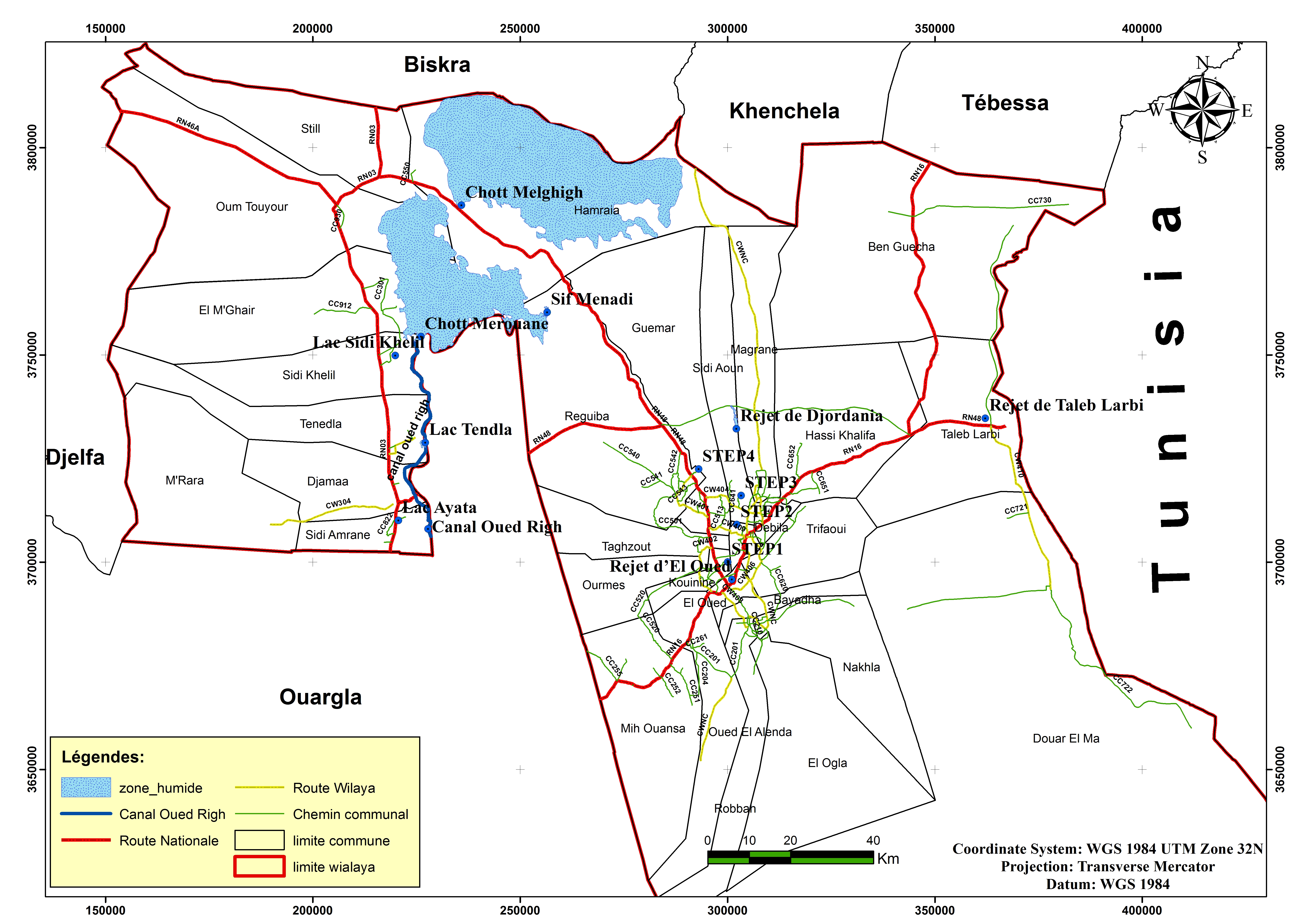
Chott Merrouane et Oued Khrouf
- Country:Algeria
- Site number:1054
- Area:337,700 ha
- Designation date:02-02-2001
- Coordinates:33°53'N 06°10'E
Materials presented on this website, particularly maps and territorial information, are as-is and as-available based on available data and do not imply the expression of any opinion whatsoever on the part of the Secretariat of the Ramsar Convention concerning the legal status of any country, territory, city or area, or of its authorities, or concerning the delimitation of its frontiers or boundaries.
Overview
Wetlands with saline and permanent water bodies fed by the Oued-Khrouf, excess irrigation water from palm groves and upstream groundwater used by and discharged from neighbouring villages. Located in an arid steppe region, the Site provides habitat for a remarkable range of sedentary and migratory birds, and fish including indigenous species which remain little known. In 1999, more than 28,000 birds were recorded including more than 14,000 greater flamingos. Western marsh harrier and migrating osprey have also been recorded. The distribution of plant species is conditioned by the hydrophilicity and salinity of the soil. This vegetation is grazed by herds, but used above all by local residents for roofing and for shade. Threats to the ecological character of the Site include pollution from untreated wastewater from irrigated palm groves, poorly regulated hunting, overgrazing and wind erosion.
Administrative region:
El Oued
- National legal designation:
- none
- Last publication date:06-04-2018
Downloads
Ramsar Information Sheet (RIS)
Archived RIS
Site map
Additional reports and documents
- Taxonomic lists of plant and animal species occurring in the site