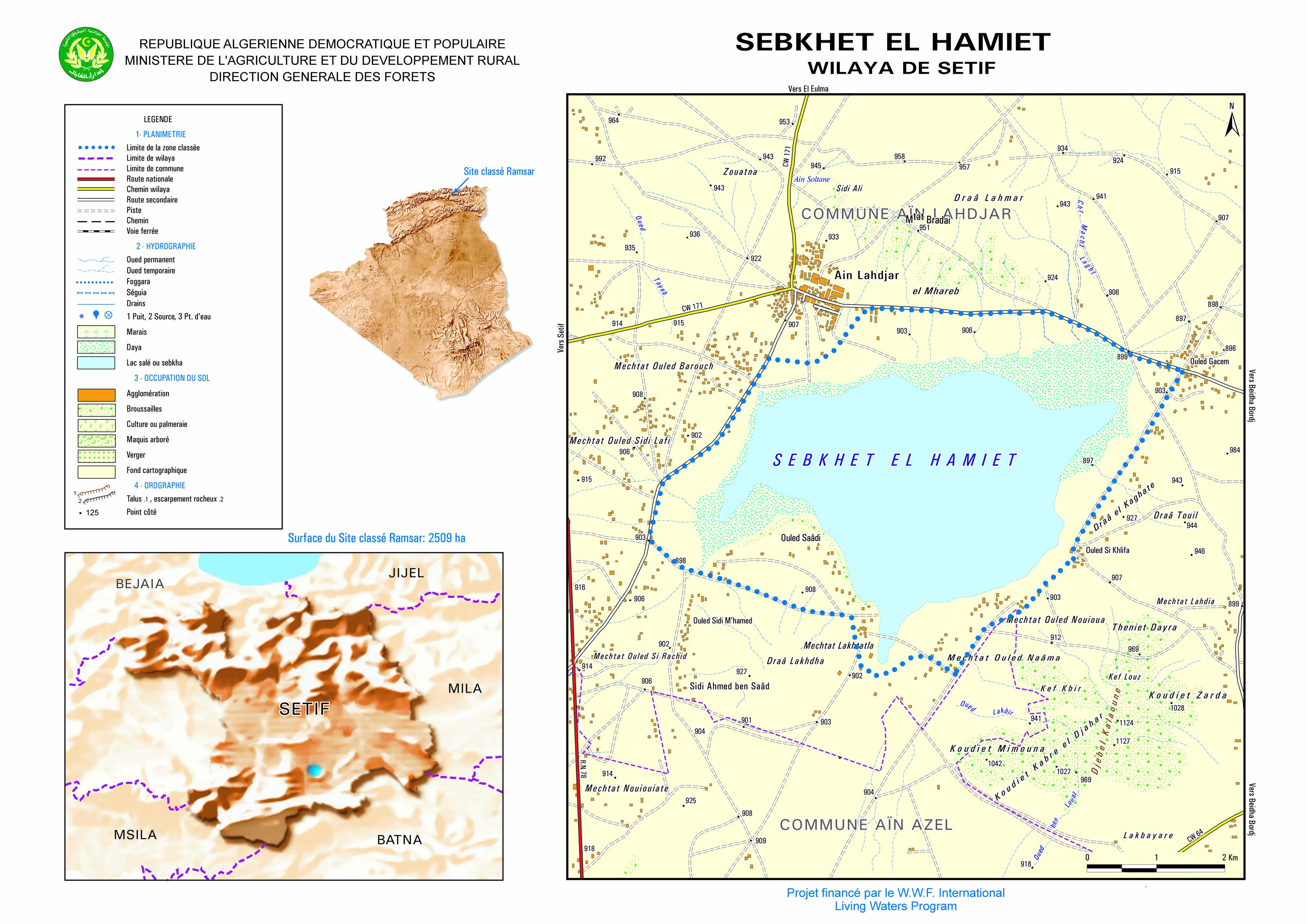
Sebkhet El Hamiet
Sebkhet El Hamiet
- Country:
- Algeria
- Site number:
- 1428
- Area:
- 2,509.0 ha
- Designation date:
- 12-12-2004
- Coordinates:
- 35°54'57"N 05°33'32"E
Carousel
Carousel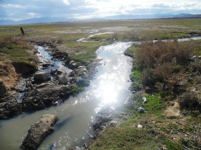
Materials presented on this website, particularly maps and territorial information, are as-is and as-available based on available data and do not imply the expression of any opinion whatsoever on the part of the Secretariat of the Convention on Wetlands concerning the legal status of any country, territory, city or area, or of its authorities, or concerning the delimitation of its frontiers or boundaries.
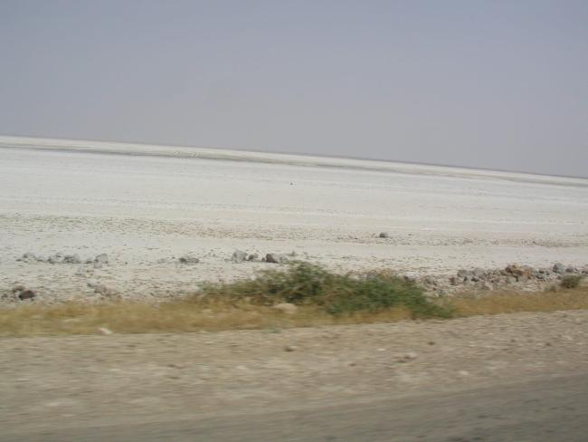
The Site is a seasonally flooded wetland composed of two main habitat types: a shallow brackish lake (sebkha) and a peripheral chott zone characterized by halophilic vegetation. The surrounding terrain is largely saline. The area floods during the rainy season and dries during summer, with water depths generally remaining below one metre. The wetland is an important stopover and wintering area for waterbirds migrating between Europe and Africa. A total of 24 bird species have been recorded, 11 of which are protected under national legislation. One species is known to breed at the Site. Two species exceed the 1 percent international population threshold for the North African biogeographical region: the common shelduck (Tadorna tadorna) and the northern lapwing (Vanellus vanellus). Although ecological conditions remain relatively stable, the Site is subject to anthropogenic pressures, including uncontrolled waste disposal, untreated wastewater discharge and illegal dumping.
- World Heritage site
- Réserve naturel - Ain Lahdjar
- Other international designation
- DZ1428RIS_2511_fr.pdf
- DZ1428RISformer_161020.pdf
- DZ1428RISformer_250404_1910_fr.pdf
- DZ1428_map250404.jpg
- DZ1428_taxo160725.docx