
Kis-Balaton
- Country:Hungary
- Site number:185
- Area:14,659 ha
- Designation date:11-04-1979
- Coordinates:46°38'N 17°11'E
Materials presented on this website, particularly maps and territorial information, are as-is and as-available based on available data and do not imply the expression of any opinion whatsoever on the part of the Secretariat of the Ramsar Convention concerning the legal status of any country, territory, city or area, or of its authorities, or concerning the delimitation of its frontiers or boundaries.
Overview
Kis-Balaton consists of the former westernmost bay of Lake Balaton, which is located in the River Zala delta. The Site is an extensive marshland in two main parts: Phase I is characterized by open water surfaces with relatively narrow reedbelts along the dikes, while Phase II contains vast reedbeds and sedgy marshes. The Site supports an outstanding biodiversity within the Pannonic biogeographic region. The shallow waters are an important spawning ground for fish, and the marshy meadows and the reed-beds provide breeding and migratory refuge for many threatened species of waterbirds. The aquatic vegetation filters nutrients and plays an important role in sediment trapping. Human activities include controlled reed harvesting, forestry, fishing, and hunting. The Balaton Uplands National Park Directorate organizes guided eco-tours on the strictly protected area of the Kis-Balaton. Potential threats to the Site are posed by illegal fishing, eutrophication caused by the intensive use of artificial fertilizers on the surrounding farmland, and the expansion of the water protection system.
Administrative region:
Zala & Somogy Counties
- National legal designation:
- National park - Balaton Uplands National Park
- Regional (international) legal designations:
- EU Natura 2000
- Last publication date:08-11-2016
Downloads
Ramsar Information Sheet (RIS)
Archived RIS
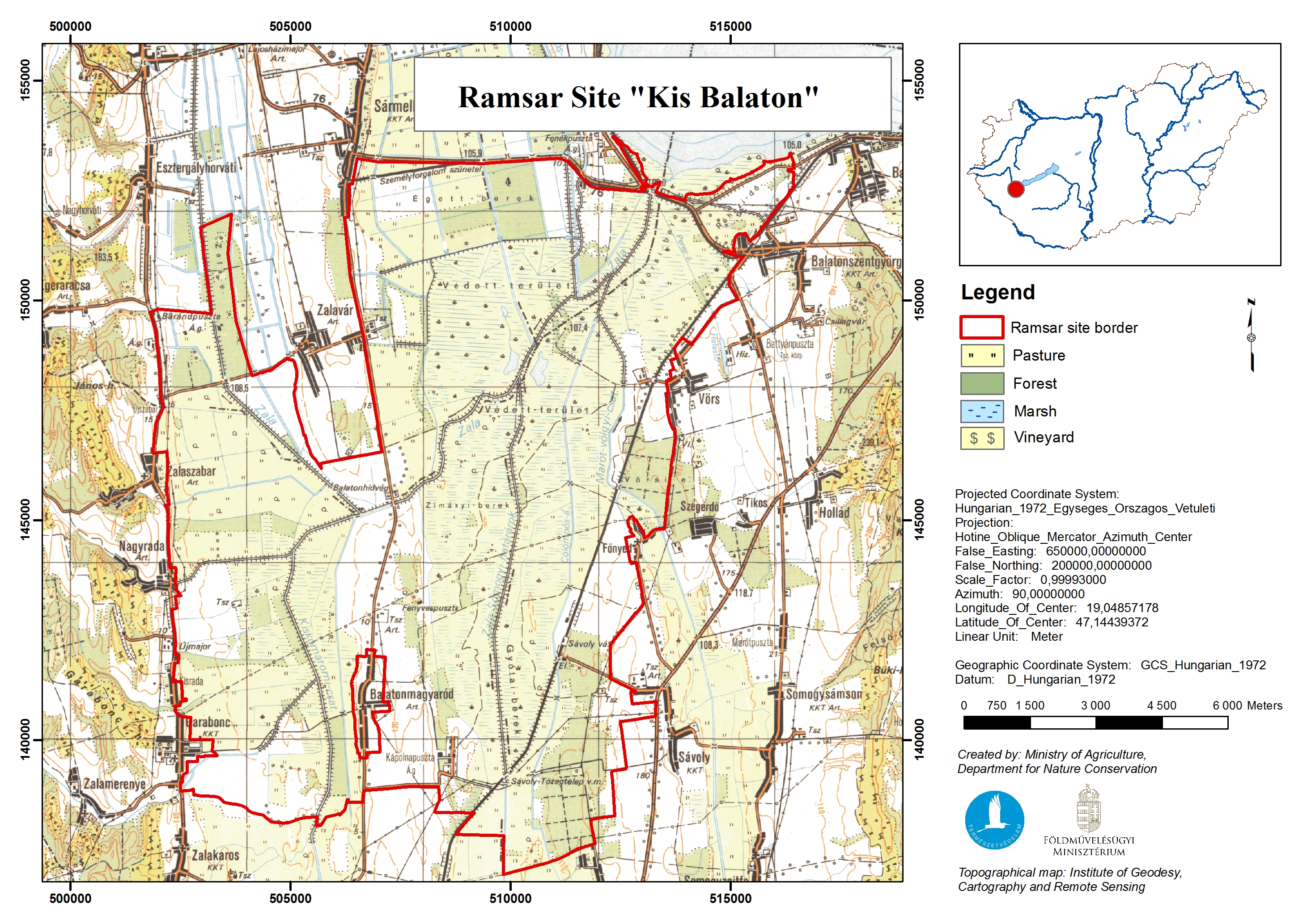
Site map
Additional reports and documents
- Other published literature