Gahar Lake
Gahar Lake
- Country:
- Iran (Islamic Republic of)
- Site number:
- 2601
- Area:
- 80.0 ha
- Designation date:
- 28-10-2025
- Coordinates:
- 33°18'19"N 49°16'51"E
Carousel
Carousel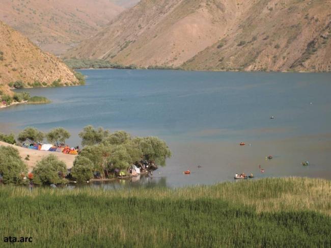
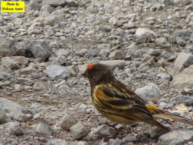
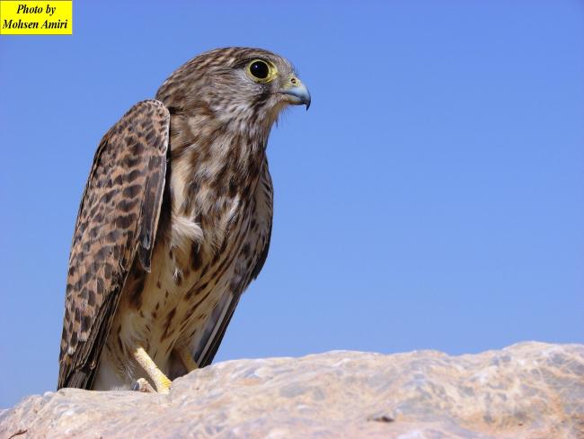
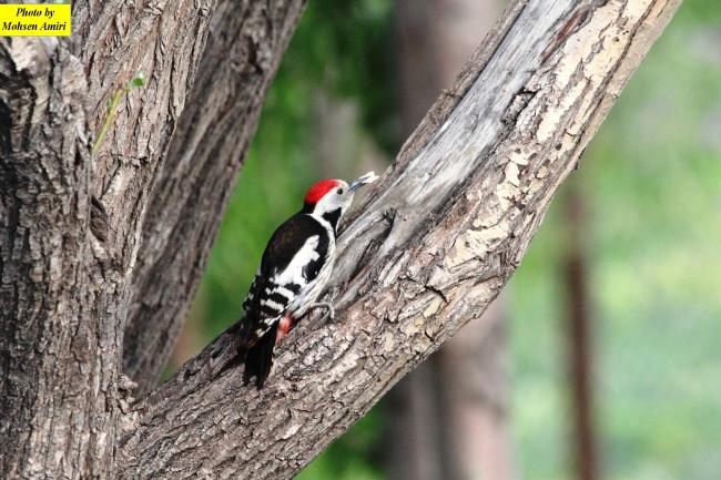
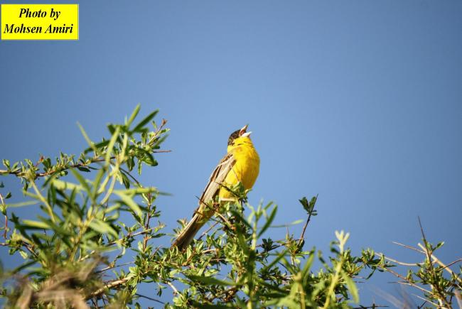
Materials presented on this website, particularly maps and territorial information, are as-is and as-available based on available data and do not imply the expression of any opinion whatsoever on the part of the Secretariat of the Convention on Wetlands concerning the legal status of any country, territory, city or area, or of its authorities, or concerning the delimitation of its frontiers or boundaries.
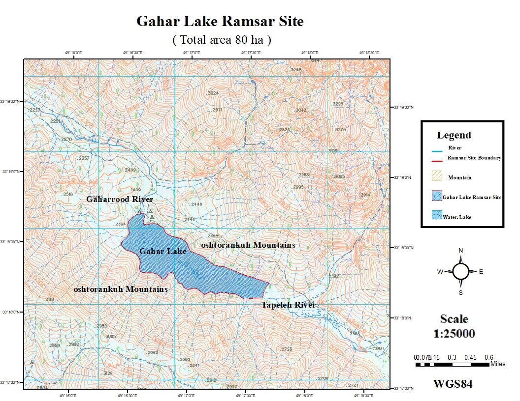
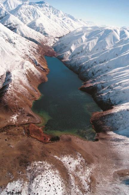
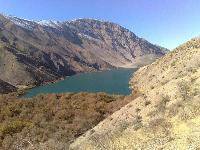
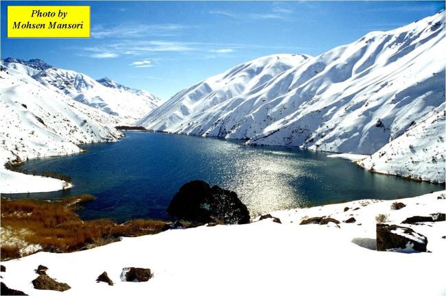
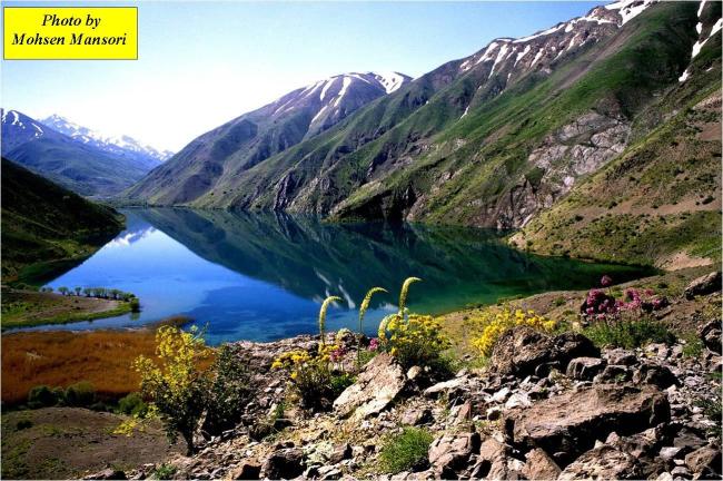
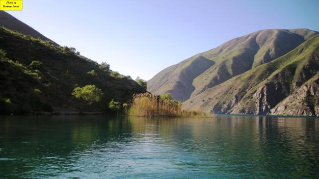
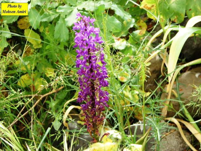
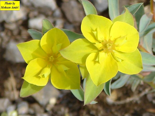
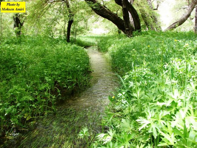
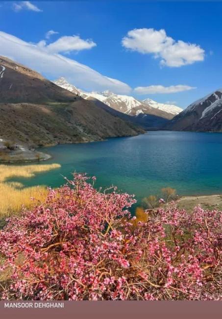
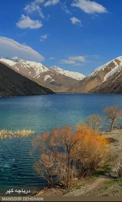
Located in the Gahar valley within the mountainous Oshtorankuh Protected Area, the Site is a freshwater lake situated at an elevation of 2,300 metres. Its origin dates back to an earthquake that triggered a large landslide, blocking a permanent waterway in the valley and creating the lake basin. Today, the lake is sustained by natural springs within the lakebed and inflow from the Tapeleh River. The Site is ecologically significant, with rare features that distinguish it from other lakes in the country, such as the freezing of its water surface in winter. The lake and surrounding hills support unique biodiversity, including a number of nationally endemic species, such as the flowering plants Aethionema cephalanthum and Dionysia haussknechtii, and Capoeta pyragyi, a cypranid fish. The Site also provides habitat for internationally important species, notably the vulnerable leopard (Panthera pardus), and serves as an important stopover site for waterbirds such as the vulnerable eastern imperial eagle (Aquila heliaca). Despite its natural beauty, the Site has remained relatively free from human disturbance due to its remote location. Access to the upstream area of the valley is limited to hiking trails, as construction of an access road has been prevented. An established management plan addresses key threats, particularly nutrient enrichment, eutrophication, and disturbance to fish habitats, through regular monitoring supported by an environmental ranger station.
- One of Iranian protected area - Oshtorankooh
- IR2601RIS_2609_en.pdf
- IR2601_map260714.jpg
- IR2601_taxo240203.xlsx
- IR2601_taxo240420.doc
- IR2601_taxo240420_1.doc
- IR2601_taxo240420_2.doc
- IR2601_mgt210505.docx
- IR2601_mgt240420.pdf
- IR2601_mgt240420_1.pdf