
Western Port
Western Port
- Country:
- Australia
- Site number:
- 267
- Area:
- 59,297.0 ha
- Designation date:
- 15-12-1982
- Coordinates:
- 38°21'25"S 145°20'53"E
Carousel
Carousel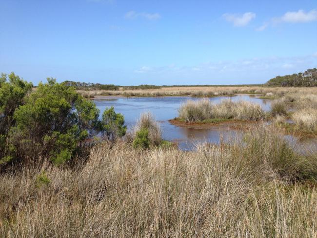
Materials presented on this website, particularly maps and territorial information, are as-is and as-available based on available data and do not imply the expression of any opinion whatsoever on the part of the Secretariat of the Convention on Wetlands concerning the legal status of any country, territory, city or area, or of its authorities, or concerning the delimitation of its frontiers or boundaries.
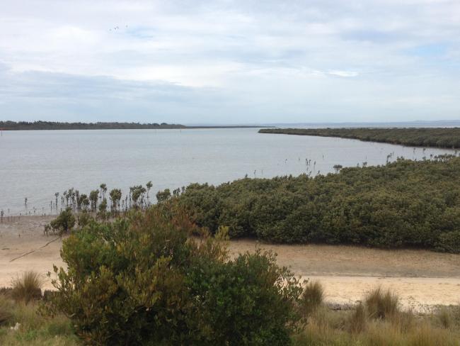
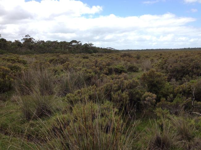
The Site comprises a large proportion of the Western Port embayment, some 60 kilometres southeast of Melbourne, and contains extensive intertidal mudflats, mangroves, coastal saltmarshes and seagrass beds. It is an internationally significant feeding and roosting area for numerous species of summering waders. A total of 115 waterbird species has been recorded within the Site, including more than 35 listed under international migratory bird agreements. Notable species include the curlew sandpiper (Calidris ferruginea) and the eastern curlew (Numenius madagascariensis), both listed as vulnerable internationally and critically endangered nationally. Another outstanding feature of the Site is its high diversity of ghost shrimp, including the locally endemic Michelea microphylla. The seagrass beds provide important breeding and nursery habitat for a range of fish species. In recent years, the mean numbers of ducks and large wading waterbirds have declined, probably due to drought conditions in the region. Additional threats include invasive non-native species, impacts of recreational activities, and pollution from surrounding agricultural and urban areas.
- UNESCO Biosphere Reserve
- Marine National Parks - Yaringa, French Island and Churchill Islands Marine National Parks
- AU267RIS_2512_en.pdf
- AU267RISformer1998_EN.pdf
- AU267RISformer_151029.pdf
- AU267_map250915.pdf
- AU267ECD.pdf
- AU267_mgt190408.pdf