Orange River Mouth
Orange River Mouth
- País:
- Namibia
- Número del sitio:
- 744
- Superficie:
- 500.0 ha
- Fecha de designación:
- 23-08-1995
- Coordenadas:
- 28°40'S 16°30'E
Carousel
Carousel
 and large flocks of terns (Sterna sp.) at the Orange River Mouth.")


Los materiales presentados en este sitio web, particularmente los mapas y la información territorial, se proporcionan tal cual y según están disponibles a partir de los datos de los que se dispone y no implican la expresión de opinión alguna por parte de la Secretaría de la Convención de Ramsar respecto de la condición jurídica de ningún país, territorio, ciudad o zona, ni de sus autoridades, ni respecto de la delimitación de sus límites o fronteras.
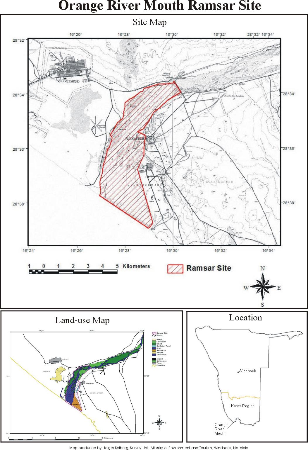
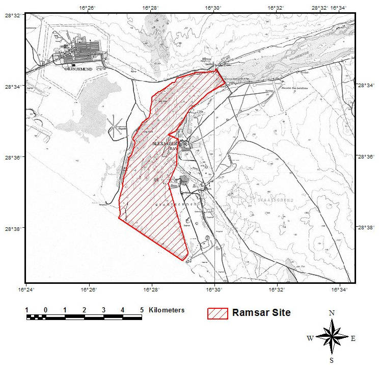
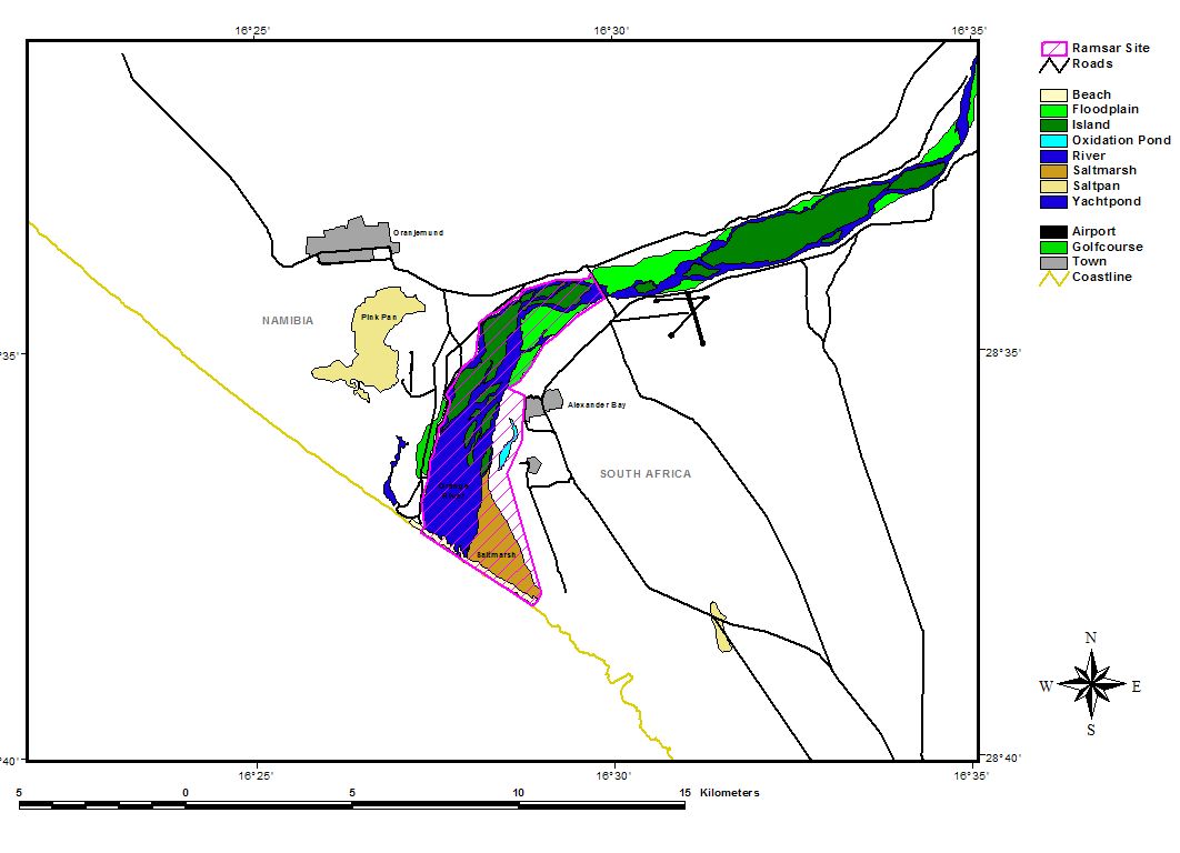
Orange River Mouth. 23/08/95; 500 ha; 28°40'S 016°30'E. Transborder site with South Africa. The sole perennial river in the region, it forms a linear oasis (floodplain) of islands and sand bars through an arid region. The site provides habitat for a variety of endemic plants and during the summer is the sixth richest wetland in southern Africa, in terms of bird numbers supported. The abundance of three species exceed 1% of their respective global populations. Restricted recreation takes place within the park. In surrounding areas, activities include diamond mining, irrigation, and large-scale water abstraction. Ramsar site no. 744. Most recent RIS information: 1995.
Región administrativa:
Karas Region
Designación jurídica nacional:
- National Park - Sperrgebiet National Park
Fecha de última publicación:
23-08-1995
Ficha Informativa de los Humedales de Ramsar (FIR)
- NA744RIS.pdf
- NA744_map161011.jpg
- NA744_map161011_1.jpg
- NA744_map161011_2.jpg
Mapa del sitio
Informes y documentos adicionales
Other published literature