Orange River Mouth
Orange River Mouth
- Country:
- Namibia
- Site number:
- 744
- Area:
- 500.0 ha
- Designation date:
- 23-08-1995
- Coordinates:
- 28°40'S 16°30'E
Carousel
Carousel
 and large flocks of terns (Sterna sp.) at the Orange River Mouth.")


Materials presented on this website, particularly maps and territorial information, are as-is and as-available based on available data and do not imply the expression of any opinion whatsoever on the part of the Secretariat of the Ramsar Convention concerning the legal status of any country, territory, city or area, or of its authorities, or concerning the delimitation of its frontiers or boundaries.
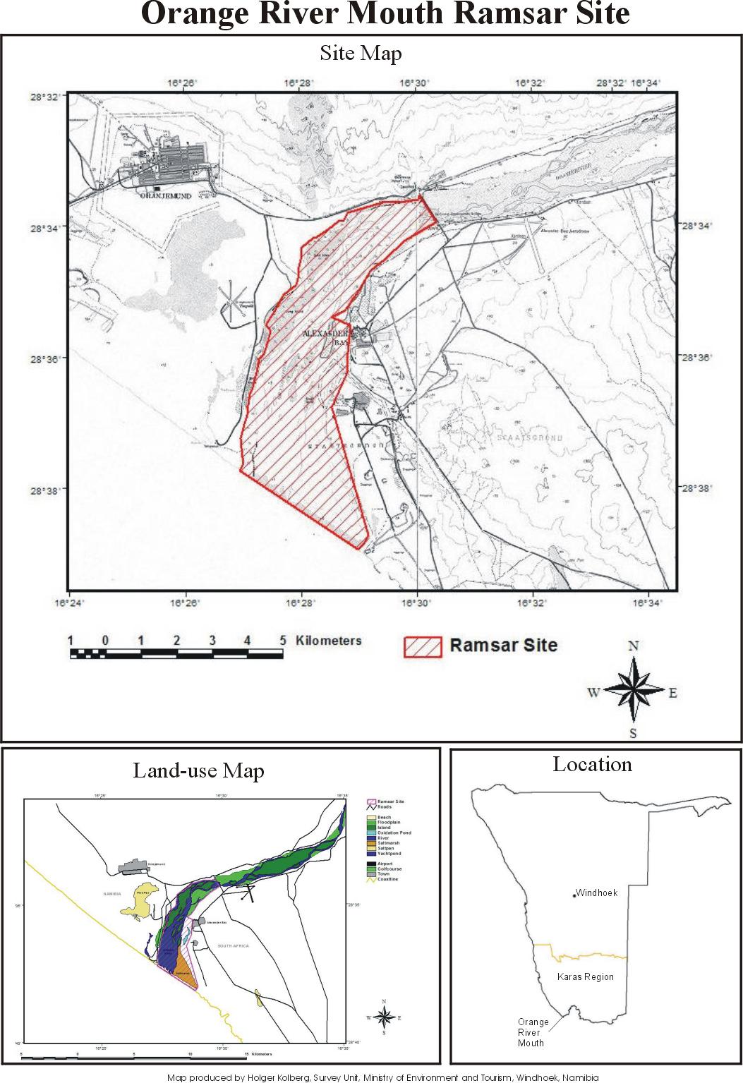
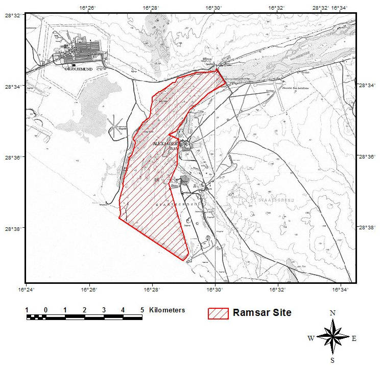
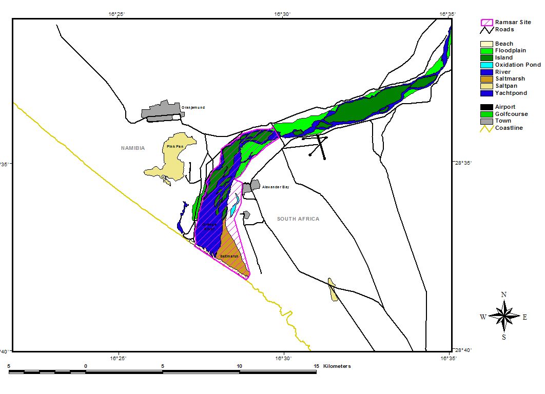
Orange River Mouth. 23/08/95; 500 ha; 28°40'S 016°30'E. Transborder site with South Africa. The sole perennial river in the region, it forms a linear oasis (floodplain) of islands and sand bars through an arid region. The site provides habitat for a variety of endemic plants and during the summer is the sixth richest wetland in southern Africa, in terms of bird numbers supported. The abundance of three species exceed 1% of their respective global populations. Restricted recreation takes place within the park. In surrounding areas, activities include diamond mining, irrigation, and large-scale water abstraction. Ramsar site no. 744. Most recent RIS information: 1995.
Administrative region:
Karas Region
National legal designation:
- National Park - Sperrgebiet National Park
Last publication date:
23-08-1995
Ramsar Information Sheet (RIS)
- NA744RIS.pdf
- NA744_map161011.jpg
- NA744_map161011_1.jpg
- NA744_map161011_2.jpg
Site map
Additional reports and documents
Other published literature