Orange River Mouth
Orange River Mouth
- Pays:
- Namibie
- Numéro du site:
- 744
- Superficie:
- 500.0 ha
- Date d'inscription:
- 23-08-1995
- Coordonnées:
- 28°40'S 16°30'E
Carousel
Carousel
 and large flocks of terns (Sterna sp.) at the Orange River Mouth.")


Le matériel présenté sur ce site web, et en particulier les cartes et l’information territoriale, est tel qu’il apparaît dans les données disponibles et n’implique en aucune manière l’expression d’une opinion quelconque de la part du Secrétariat de la Convention de Ramsar concernant le statut juridique de tout pays, territoire, ville ou zone, ou de ses autorités, ou concernant la délimitation de ses frontières ou limites.
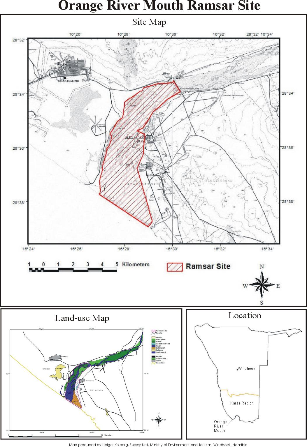
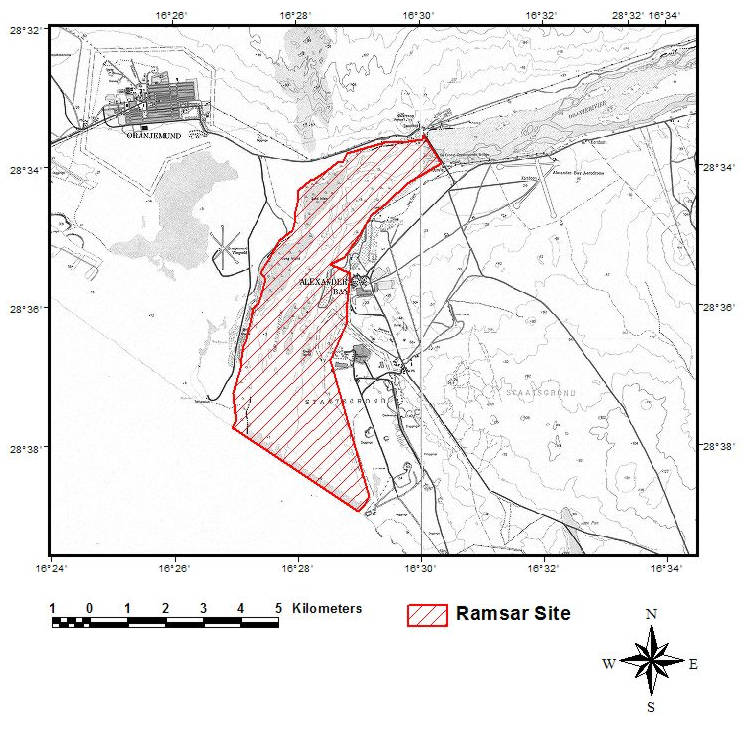
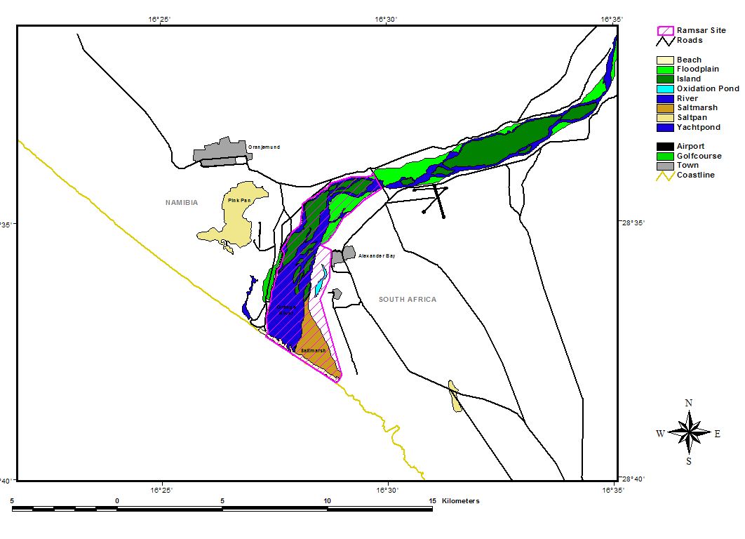
Orange River Mouth. 23/08/95; 500 ha; 28°40'S 016°30'E. Transborder site with South Africa. The sole perennial river in the region, it forms a linear oasis (floodplain) of islands and sand bars through an arid region. The site provides habitat for a variety of endemic plants and during the summer is the sixth richest wetland in southern Africa, in terms of bird numbers supported. The abundance of three species exceed 1% of their respective global populations. Restricted recreation takes place within the park. In surrounding areas, activities include diamond mining, irrigation, and large-scale water abstraction. Ramsar site no. 744. Most recent RIS information: 1995.
Région administrative:
Karas Region
Inscription légale nationale:
- National Park - Sperrgebiet National Park
Date de dernière publication:
23-08-1995
Fiche descriptive Ramsar (FDR)
- NA744RIS.pdf
- NA744_map161011.jpg
- NA744_map161011_1.jpg
- NA744_map161011_2.jpg
Carte du site
Rapports et documents complémentaires
Other published literature