")
")
")
")
")
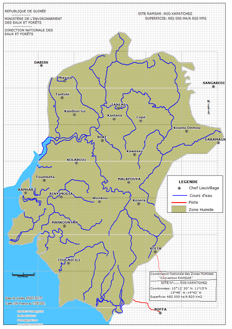
Rio Kapatchez
- Country:Guinea
- Site number:573
- Area:679,280 ha
- Designation date:18-11-1992
- Coordinates:10°45'N 14°15'W
Materials presented on this website, particularly maps and territorial information, are as-is and as-available based on available data and do not imply the expression of any opinion whatsoever on the part of the Secretariat of the Ramsar Convention concerning the legal status of any country, territory, city or area, or of its authorities, or concerning the delimitation of its frontiers or boundaries.
Overview
The Site encompasses marshy coastal plains bordered by a stabilized dune cordon, and includes a complex of mangrove forests, intertidal mud and sand flats, and freshwater marshes. These different habitats support various waterbirds. In the mangroves, nesting bird species include the woolly-necked stork Ciconia episcopus, hamerkop (Scopus umbretta), African fish eagle (Haliaeetus vocifer) and yellow-billed stork (Mycteria ibis), while the osprey (Pandion haliaetus) winters there. The mudflats host populations of pink and lesser flamingos (Phoenicopterus roseus and Phoenicopterus minor) in the dry season, and large numbers of wintering waders including a few thousand avocets. Fulvous whistling duck (Dendrocygna bicolor) nest in the freshwater swamp and rice paddies. A small island is also important as it is a high tide roost for shorebirds. Human activities include traditional fishing and subsistence rice cultivation, while there is intensive rice cultivation in surrounding areas.
Administrative region:
Boke
- National legal designation:
- none
- Last publication date:28-03-2017
Downloads
Ramsar Information Sheet (RIS)
Archived RIS
Site map
Additional reports and documents
- Other published literature